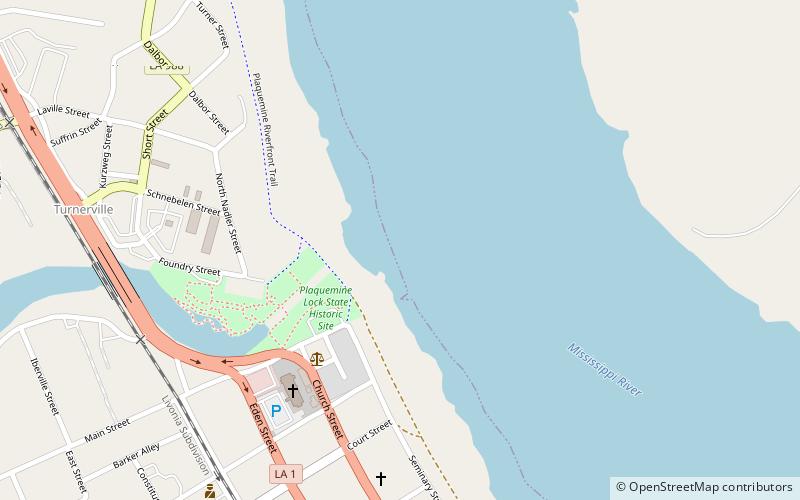
Plaquemine Lock State Historic Site, Plaquemine
Map

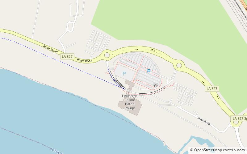
Map

Facts and practical information
Plaquemine Lock State Historic Site, located in Plaquemine, Louisiana, commemorates an early example of hydraulic engineering design and the historic significance of Bayou Plaquemine, an important navigable waterway that was once a distributary of the Mississippi River. Bayou Plaquemine promoted settlement beginning in the 18th century and helped the area economically by providing an access route between southwestern Louisiana and the Mississippi via the Atchafalaya Basin. ()
Coordinates: 30°17'37"N, 91°13'56"W
Day trips
Plaquemine Lock State Historic Site – popular in the area (distance from the attraction)
Nearby attractions include: Iberville Parish Courthouse, L'Auberge Baton Rouge.


