Park Falls Country Club, Park Falls

Gallery (1)
Map
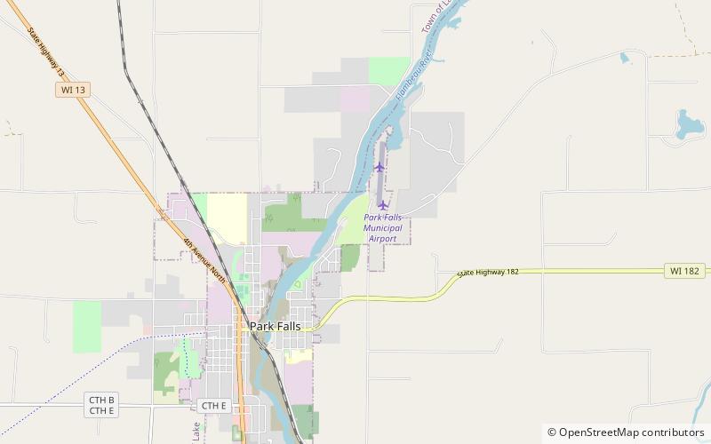
Map
Facts and practical information
Park Falls Country Club (address: 1250 Saunders Ave) is a place located in Park Falls (Wisconsin state) and belongs to the category of golf.
It is situated at an altitude of 1532 feet, and its geographical coordinates are 45°56'55"N latitude and 90°25'46"W longitude.
Among other places and attractions worth visiting in the area are: Park Falls Public Library (library, 37 min walk).
Coordinates: 45°56'55"N, 90°25'46"W
Day trips
Park Falls Country Club – popular in the area (distance from the attraction)
Nearby attractions include: Park Falls Public Library.
