Reading Area Community College, Reading
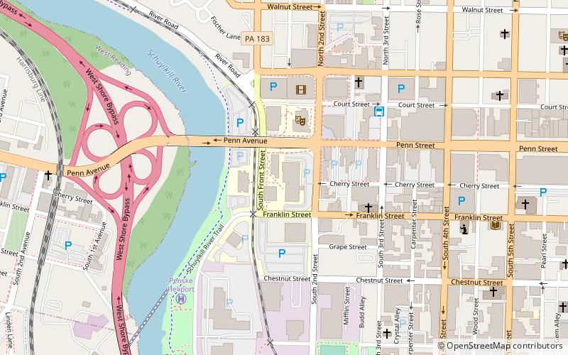
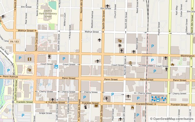
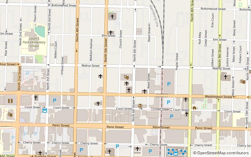
Map
Facts and practical information
Reading Area Community College is a public community college in Reading, Pennsylvania. The college was founded in 1971 and serves the greater Reading area and Berks County, Pennsylvania. The institution is a Hispanic-serving institution as defined by federal law. ()
Established: 1971 (55 years ago)Coordinates: 40°20'5"N, 75°56'5"W
Day trips
Reading Area Community College – popular in the area (distance from the attraction)
Nearby attractions include: Santander Arena, Reading Public Museum, Christ Episcopal Church, Santander Performing Arts Center.
Frequently Asked Questions (FAQ)
Which popular attractions are close to Reading Area Community College?
Nearby attractions include Miller Center for the Arts, Reading (3 min walk), GoggleWorks, Reading (6 min walk), Reading Public Library, Reading (9 min walk), Christ Episcopal Church, Reading (10 min walk).
How to get to Reading Area Community College by public transport?
The nearest stations to Reading Area Community College:
Bus
Bus
- Bus Station (5 min walk)
- Stop 10 • Lines: 16 (16 min walk)


