Marquette Park, Chicago
Map
Gallery
Facts and practical information
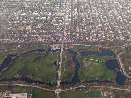
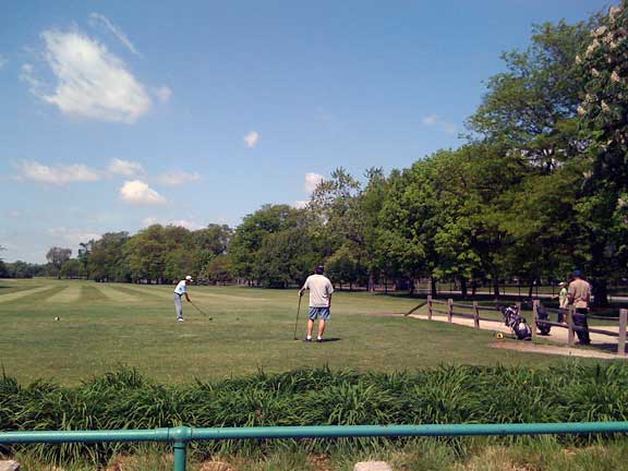
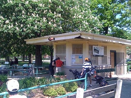
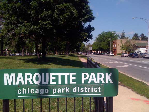
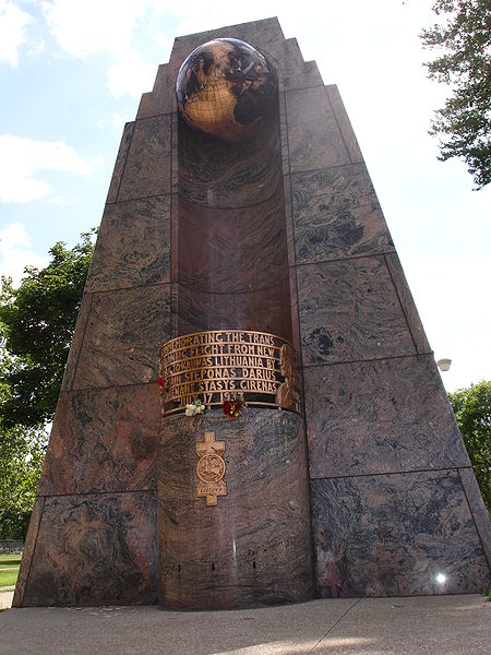
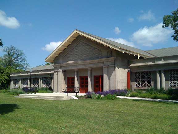
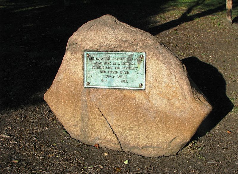
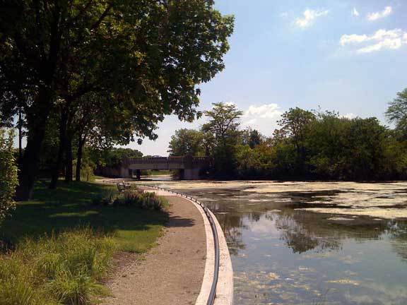
Marquette Park, the largest park on the southwest side of Chicago, Illinois, at 323 acres, is located at 41.768°N 87.703°W / 41.768; -87.703 in the city's Chicago Lawn neighborhood. The park is named for Father Jacques Marquette . ()
Elevation: 604 ft a.s.l.Coordinates: 41°46'5"N, 87°42'10"W
Day trips
Marquette Park – popular in the area (distance from the attraction)
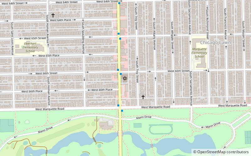
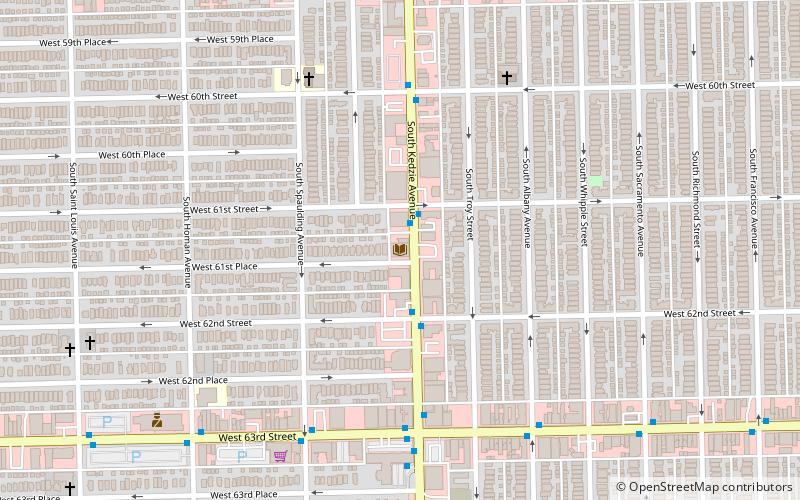
Nearby attractions include: Balzekas Museum of Lithuanian Culture, Beth Shalom B'nai Zaken Ethiopian Hebrew Congregation, Chicago Lawn, Chicago Lawn Branch.
Frequently Asked Questions (FAQ)
Which popular attractions are close to Marquette Park?
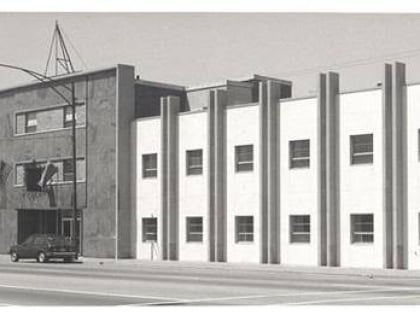
Nearby attractions include Beth Shalom B'nai Zaken Ethiopian Hebrew Congregation, Chicago (9 min walk), Chicago Lawn, Chicago (12 min walk).
How to get to Marquette Park by public transport?
The nearest stations to Marquette Park:
Bus
Bus
- Kedzie & 71st Street • Lines: 52A (7 min walk)
- 71st Street & Kedzie WB • Lines: 67 (7 min walk)


 Rail "L"