Las Vegas Springs, Las Vegas
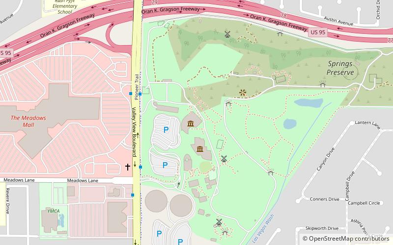
Map
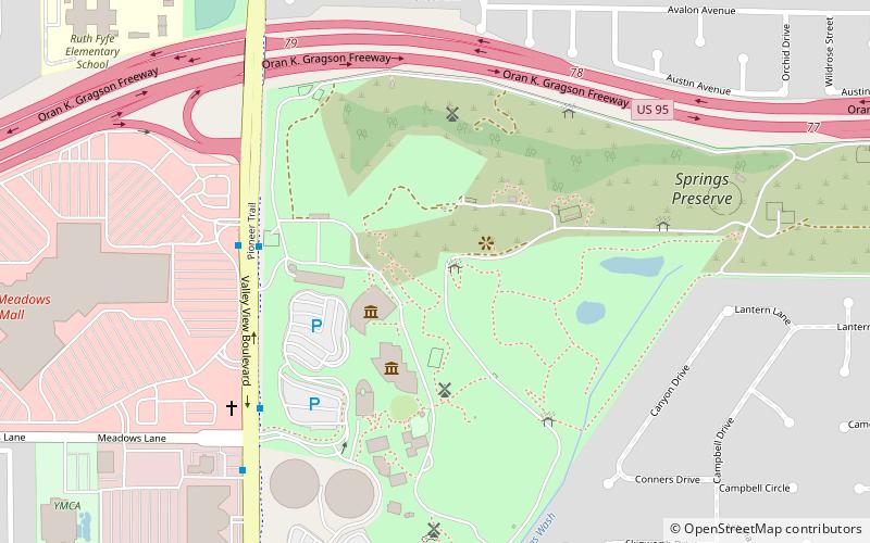
Map

Facts and practical information
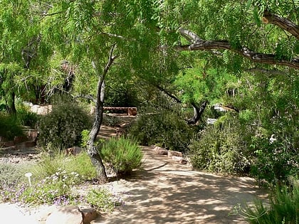
The Las Vegas Springs or Big Springs is the site of a natural oasis, known traditionally as a cienega. For more than 15,000 years, springs broke through the desert floor, creating grassy meadows. The bubbling springs were a source of water for Native Americans living here at least 5,000 years ago. Known as The Birthplace of Las Vegas it sustained travelers of the Old Spanish Trail and Mormons who came to settle the West. The springs' source is the Las Vegas aquifer. ()
Coordinates: 36°10'22"N, 115°11'20"W
Address
Rancho OakeyLas Vegas
ContactAdd
Social media
Add
Day trips
Las Vegas Springs – popular in the area (distance from the attraction)
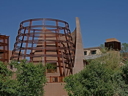
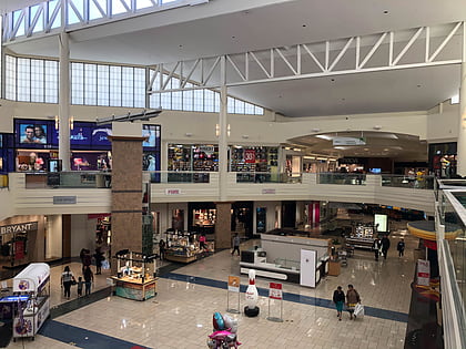
Nearby attractions include: Meadows Mall, Nevada State Museum, Lorenzi Park, Springs Preserve.
Frequently Asked Questions (FAQ)
Which popular attractions are close to Las Vegas Springs?
Nearby attractions include Nevada State Museum, Las Vegas (2 min walk), Springs Preserve, Las Vegas (3 min walk), Springs Preserve, Las Vegas (8 min walk), Lorenzi Park, Las Vegas (13 min walk).
