Pioneer Mountain, Sawtooth National Forest

Map
Facts and practical information
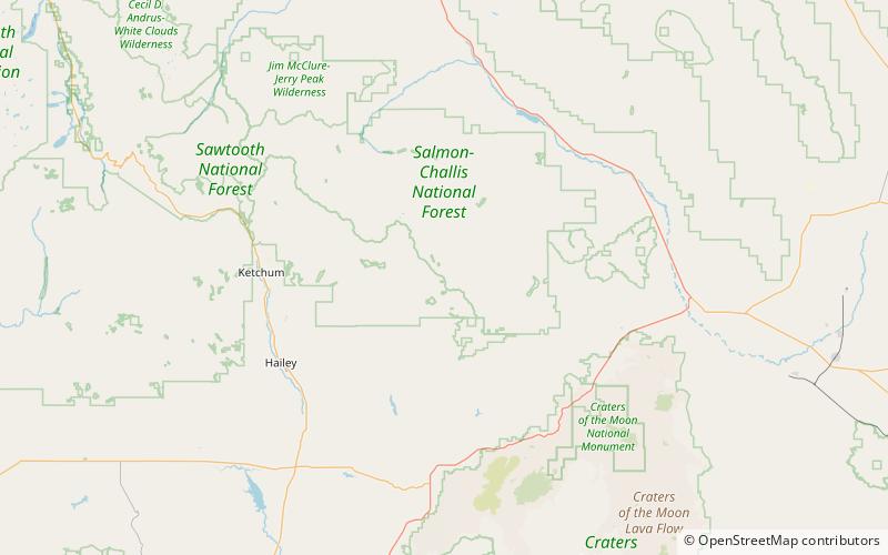
Pioneer Mountain at 10,525 feet high is a peak in the Pioneer Mountains on the border of Blaine and Custer counties in Idaho. The peak is also located on the border of Sawtooth and Salmon-Challis National Forests. The isolation of Pioneer Mountain is 1.47 miles. The southern and western slopes of the peak are drained by tributaries of Muldoon Creek, which as a tributary of the Little Wood River. The northern and eastern slopes are drained by tributaries of Star Hope Creek, which is a tributary of the Big Lost River. ()
Elevation: 10525 ftProminence: 505 ftCoordinates: 43°40'17"N, 113°54'47"W
Address
Sawtooth National Forest
ContactAdd
Social media
Add
Day trips
Pioneer Mountain – popular in the area (distance from the attraction)
Nearby attractions include: Smiley Mountain.
