Mission Trails Regional Park, San Diego

Gallery (2)
Map
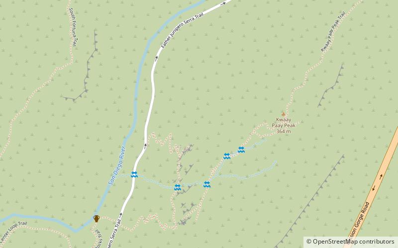
Map
Gallery
Facts and practical information
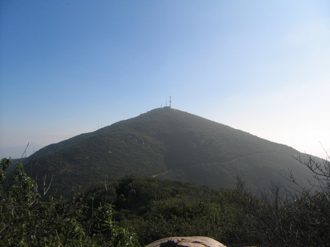
Mission Trails Regional Park is a 7,220-acre open space preserve within the city of San Diego, California, established in 1974. It is the sixth-largest municipally owned park in the United States, and the largest in California. ()
Elevation: 719 ft a.s.l.Coordinates: 32°49'40"N, 117°3'0"W
Day trips