Salem Downtown State Street – Commercial Street Historic District, Salem


Facts and practical information
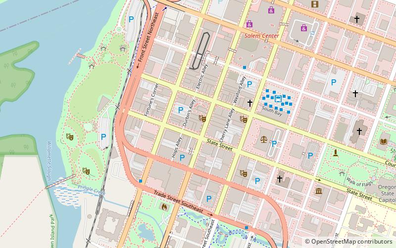
The Salem Downtown State Street – Commercial Street Historic District comprises a portion of the central business district of Salem, Oregon, United States. Located on the Willamette River transportation corridor and near Jason Lee's Mission Mill, Salem's downtown area was first platted in 1846. Subsequent development patterns closely reflected the drivers of Salem's growth as an important agricultural and commercial center. Surviving buildings represent a wide range of architectural styles from the 1860s through the 1950s. The district was added to the National Register of Historic Places in 2001. ()
Central AreaSalem
Salem Downtown State Street – Commercial Street Historic District – popular in the area (distance from the attraction)
Nearby attractions include: Salem Center, Hallie Ford Museum of Art, Oregon State Capitol, Oregon Veterans Medal of Honor Memorial.
Frequently Asked Questions (FAQ)
Which popular attractions are close to Salem Downtown State Street – Commercial Street Historic District?
How to get to Salem Downtown State Street – Commercial Street Historic District by public transport?
Bus
- K • Lines: 21 (4 min walk)
- A • Lines: 19 (4 min walk)
Train
- Salem Amtrak Station (20 min walk)


