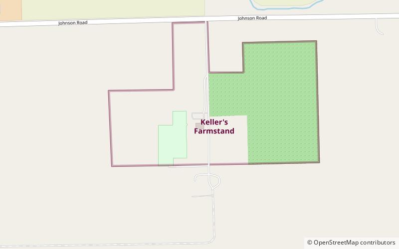
Keller's Farmstand, Oswego

Gallery (1)
Map
Map
Facts and practical information
Keller's Farmstand (address: 2500 Johnson Rd) is a place located in Oswego (Illinois state) and belongs to the category of farm.
It is situated at an altitude of 666 feet, and its geographical coordinates are 41°37'6"N latitude and 88°18'26"W longitude.
Among other places and attractions worth visiting in the area are: Prairie Point Community Park (park, 105 min walk), Fox Bend Golf Course (golf, 132 min walk), Hudson Crossing Park (park, 134 min walk).
Coordinates: 41°37'6"N, 88°18'26"W
Day trips