Tottenville, New York City
Map
Gallery
Facts and practical information
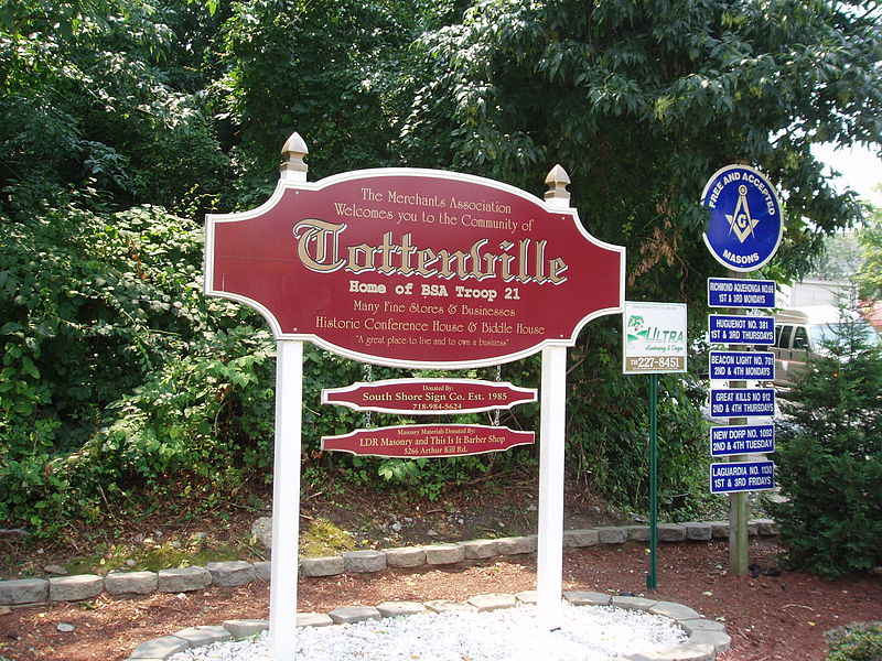
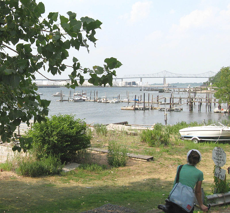
Tottenville is a neighborhood on the South Shore of Staten Island, New York City. It is the southernmost settlement in both New York City and New York State. Tottenville is bounded on three sides by water: the east side abuts New York Bight while the south and west sides are bordered by Arthur Kill. Nassau Place, Bethel Avenue and Page Avenue form the neighborhood's northern border. ()
Coordinates: 40°30'23"N, 74°14'35"W
Address
South Shore (Tottenville)New York City
ContactAdd
Social media
Add
Day trips
Tottenville – popular in the area (distance from the attraction)
Nearby attractions include: Conference House, Simpson United Methodist Church, Perth Amboy City Hall, Kearny Cottage.
Frequently Asked Questions (FAQ)
Which popular attractions are close to Tottenville?
Nearby attractions include Church of Our Lady Help of Christians, New York City (7 min walk), Conference House, New York City (15 min walk), Ward's Point, New York City (18 min walk).
How to get to Tottenville by public transport?
The nearest stations to Tottenville:
Metro
Bus
Metro
- Tottenville • Lines: Sir (17 min walk)
- Arthur Kill • Lines: Sir (19 min walk)
Bus
- Rector Street at Washington Street • Lines: 813, 815, 817 (28 min walk)
- Smith Street at High Street • Lines: 815 (31 min walk)



 Subway
 Manhattan Buses


