Salt River Range, Bridger–Teton National Forest
Map

Gallery

Facts and practical information
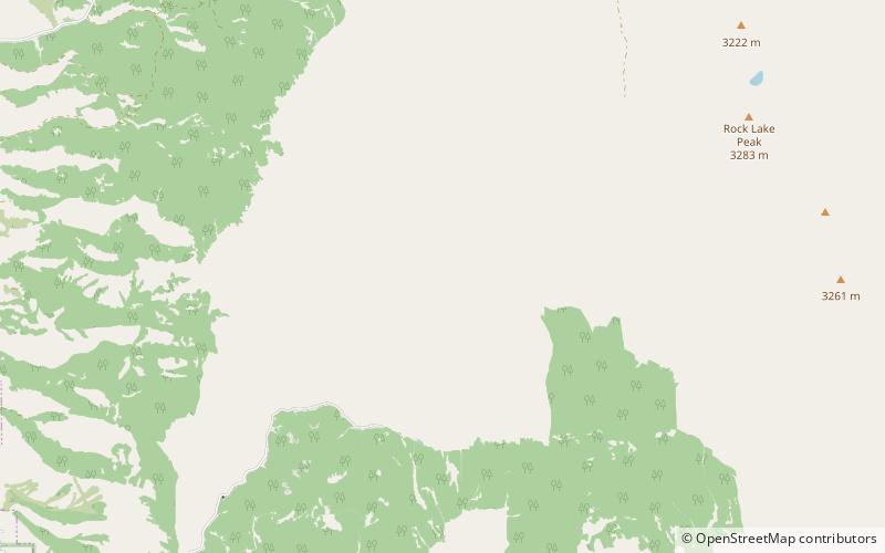
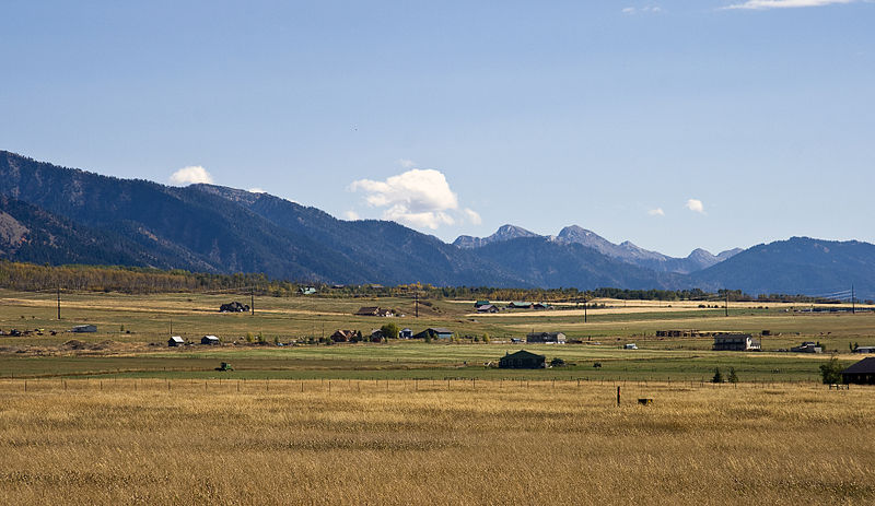
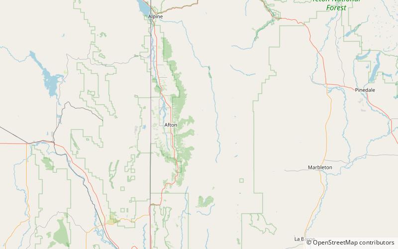
The Salt River Range is a mountain range in western Wyoming. The 56 mile long range forms the eastern boundary of Star Valley as well as the western boundary of the Greys River valley. The highest point is Mount Fitzpatrick at 10,907 feet. ()
Coordinates: 42°46'0"N, 110°50'60"W
Address
Bridger–Teton National Forest
ContactAdd
Social media
Add
Day trips
Salt River Range – popular in the area (distance from the attraction)
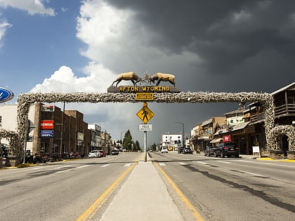
Nearby attractions include: Mount Fitzpatrick, Afton.


