Foreaker Covered Bridge, Wayne National Forest
Map

Map

Facts and practical information
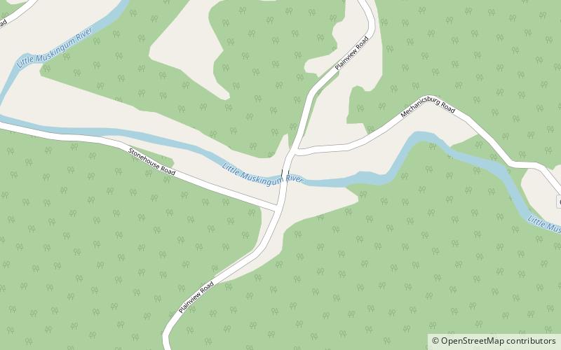
The Foreaker Covered Bridge, with the first word sometimes spelled Foraker, and also called the Weddle Covered Bridge, is located on Monroe County Road 40, three miles east of Graysville, Ohio. The property was listed on the National Register in 1975. ()
Built: 1886 (140 years ago)Coordinates: 39°39'20"N, 81°7'16"W
Address
Wayne National Forest
ContactAdd
Social media
Add
