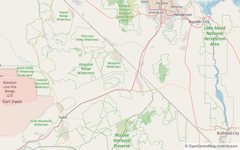
Clark Mountain Range, Mojave National Preserve
Map

Map

Facts and practical information
The Clark Mountain Range is located in southeastern California, north of Interstate 15 and the community of Mountain Pass. The range stretches approximately 15 miles in a southwest-northeasterly direction, beginning in the Mojave National Preserve, and ending near Stateline Pass, about one mile from the Nevada border. Clark Mountain, at 7,929 feet above sea level, is the principal peak of the range. ()
Maximum elevation: 7933 ftElevation: 7933 ftCoordinates: 35°34'55"N, 115°33'25"W
Address
Mojave National Preserve
ContactAdd
Social media
Add
Day trips
Clark Mountain Range – popular in the area (distance from the attraction)
Nearby attractions include: Clark Mountain.

