Coloma Township Park District, Rock Falls

Gallery (1)
Map
Map
Facts and practical information
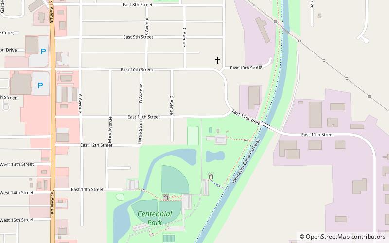
Coloma Township Park District (address: 508 E 11th St) is a place located in Rock Falls (Illinois state) and belongs to the category of playground, park, relax in park.
It is situated at an altitude of 640 feet, and its geographical coordinates are 41°46'15"N latitude and 89°40'59"W longitude.
Among other places and attractions worth visiting in the area are: Sterling-Rock Falls (city, 46 min walk).
Elevation: 640 ft a.s.l.Coordinates: 41°46'15"N, 89°40'59"W
Day trips
Coloma Township Park District – popular in the area (distance from the attraction)
Nearby attractions include: Sterling-Rock Falls.
