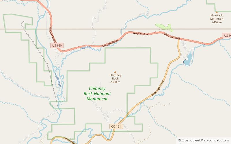
Chimney Rock, Chimney Rock National Monument

Gallery (1)
Map
Map
Facts and practical information
Chimney Rock is a place located in Chimney Rock National Monument (Colorado state) and belongs to the category of mountain.
It is situated at an altitude of 7677 feet, and its geographical coordinates are 37°11'40"N latitude and 107°18'4"W longitude.
Coordinates: 37°11'40"N, 107°18'4"W
Address
Chimney Rock National Monument
ContactAdd
Social media
Add