St. Marks Light, Saint Marks
Map
![St. Marks Light location map](https://tzmedia.b-cdn.net/media/images/static-maps/us/30_0719_-84_18.jpg)
Map
![St. Marks Light location map](https://tzmedia.b-cdn.net/media/images/static-maps/us/30_0719_-84_18.jpg)
Facts and practical information
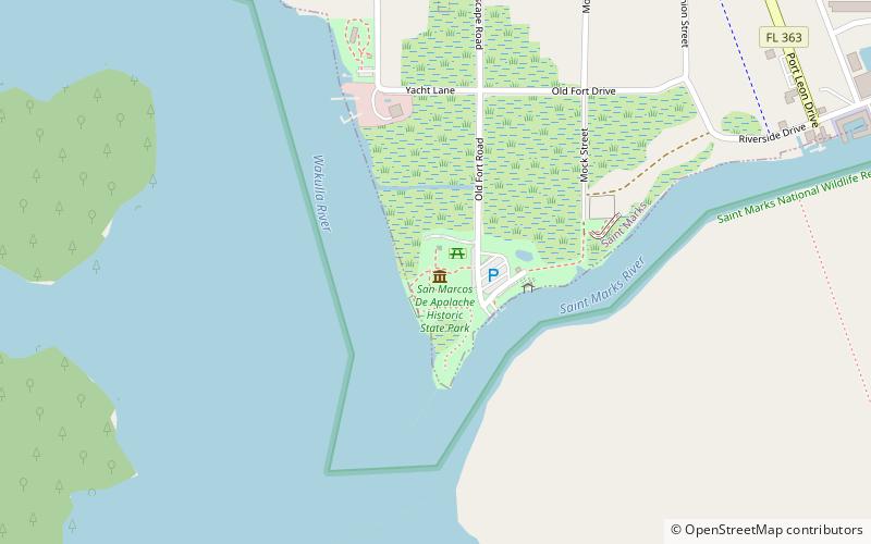
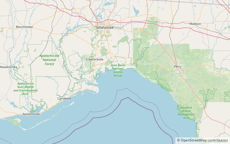
The St. Marks Light is the second-oldest light station in Florida. It is located on the east side of the mouth of the St. Marks River, on Apalachee Bay. ()
Coordinates: 30°4'19"N, 84°10'48"W
Day trips
St. Marks Light – popular in the area (distance from the attraction)
Nearby attractions include: San Marcos de Apalache Historic State Park, Fort Ward, St. Marks National Wildlife Refuge.