Coleman Glacier, Mount Baker
Map

Map

Facts and practical information
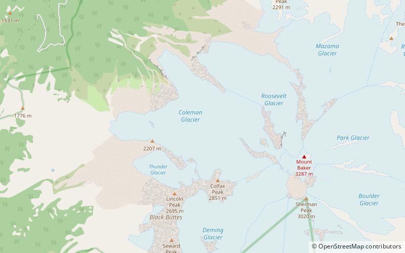
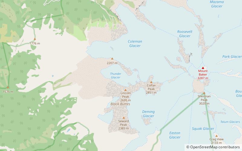
Coleman Glacier is located on Mount Baker in the North Cascades of the U.S. state of Washington. Between 1850 and 1950, Coleman Glacier retreated 8,200 ft. During a cooler and wetter period from 1950 to 1979, the glacier advanced 2,480 ft but between 1980 and 2006 retreated back 1,443 ft. Situated on the west slopes of Mount Baker, Coleman Glacier is bordered by the Roosevelt Glacier to the north and the Heliotrope Ridge to the south. ()
Length: 2.25 miCoordinates: 48°47'1"N, 121°50'56"W
Day trips
Coleman Glacier – popular in the area (distance from the attraction)
Nearby attractions include: Roosevelt Glacier, Lincoln Peak, Black Buttes, Thunder Glacier.
Frequently Asked Questions (FAQ)
Which popular attractions are close to Coleman Glacier?
Nearby attractions include Thunder Glacier, Mount Baker (23 min walk), Black Buttes, Mount Baker (23 min walk).


