Little Italy, Omaha
Map

Map

Facts and practical information
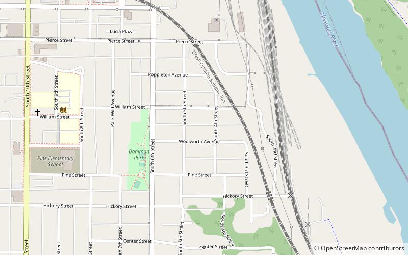
Little Italy is a neighborhood in Omaha, Nebraska which served as the historic home to Omahans of Italian ancestry. It was the source of many laborers for the Union Pacific railroad, much of Omaha's bootlegging during Prohibition and the Santa Lucia Procession, which started in 1924 and continues annually. ()
Coordinates: 41°14'43"N, 95°55'19"W
Address
Southeast Omaha (Little Italy)Omaha
ContactAdd
Social media
Add
Day trips
Little Italy – popular in the area (distance from the attraction)
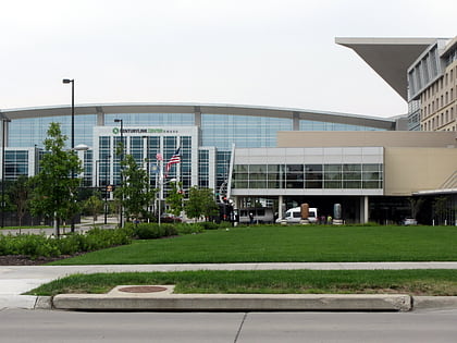
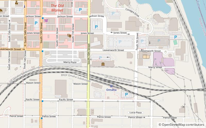
Nearby attractions include: J. L. Brandeis and Sons Store Building, CenturyLink Center Omaha, Gene Leahy Mall, Durham Museum.
Frequently Asked Questions (FAQ)
Which popular attractions are close to Little Italy?
Nearby attractions include Dahlman neighborhood, Omaha (5 min walk), St. Frances Cabrini Catholic Church, Omaha (10 min walk), Union Pacific Missouri River Bridge, Omaha (10 min walk), Old Gold Coast, Omaha (10 min walk).
How to get to Little Italy by public transport?
The nearest stations to Little Italy:
Train
Bus
Train
- Omaha (12 min walk)
Bus
- Omaha Bus Station (27 min walk)
- 14th & Douglas • Lines: 95 (29 min walk)


