Burns Union School, Burns

Gallery (1)
Map
Map
Facts and practical information
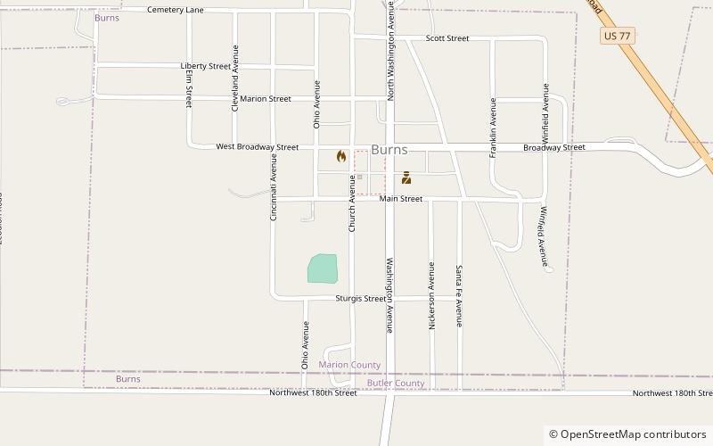
The Burns Union School at the SW corner of Ohio and Main Sts. in Burns, Kansas was built in 1904. It was a work of C.W. Squires and J.J. Clayton. In 1965, it closed as a result of statewide school district consolidation. It was listed on the National Register of Historic Places in 1975. ()
Built: 1904 (122 years ago)Coordinates: 38°5'20"N, 96°53'14"W
Address
Burns
ContactAdd
Social media
Add