Roundtop Hill, Widmeyer Wildlife Management Area

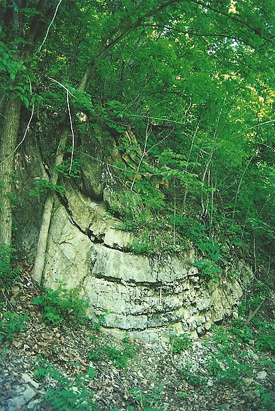
Gallery (2)
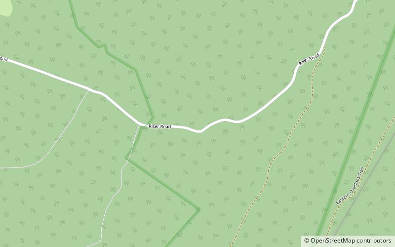
Map
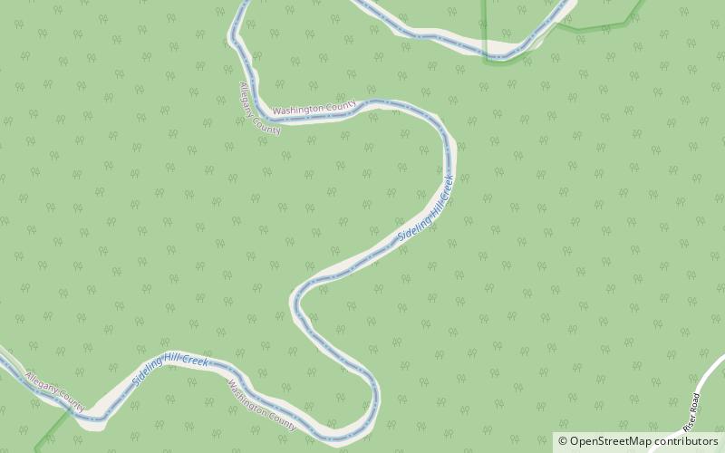
Map
Gallery
Facts and practical information
Roundtop Hill is a mountain in Washington County, Maryland, southwest of the town of Hancock. The elevation at the summit is 1,358 feet. ()
Elevation: 1358 ftProminence: 650 ftCoordinates: 39°40'48"N, 78°19'12"W
Address
Widmeyer Wildlife Management Area
ContactAdd
Social media
Add
Day trips