Port of Greater Baton Rouge, Baton Rouge
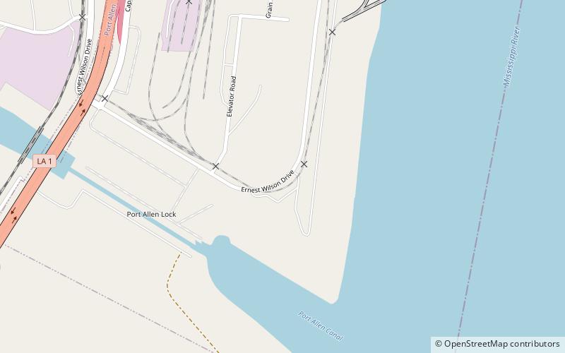
Map
Facts and practical information
The Port of Greater Baton Rouge is the tenth largest port in the United States in terms of tonnage shipped, and is the northernmost port on the Mississippi River capable of handling Panamax ships. ()
Opened: 1956 (70 years ago)Coordinates: 30°25'54"N, 91°12'14"W
Getting there by public transportation
Public transportation stops near this location
- Bus
 Bus
Bus
- Calculate routeNorth Blvd Transit Hub 36 min walk
Day trips


Frequently Asked Questions (FAQ)
How to get to Port of Greater Baton Rouge by public transport?
The nearest stations to Port of Greater Baton Rouge:
Bus
Bus
- North Blvd Transit Hub (36 min walk)