Ives Peak, Goat Rocks Wilderness
Map

Map

Facts and practical information
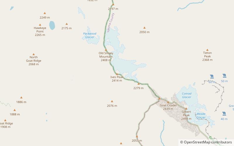
Ives Peak, elevation 7,920+ ft, is located in the Goat Rocks on the border of Lewis and Yakima Counties, in the U.S. state of Washington. Ives Peak is within the Goat Rocks Wilderness and the McCall Glacier on its eastern slopes. Additionally, the Pacific Crest National Scenic Trail is near the west slopes of the peak. ()
Elevation: 7920 ftProminence: 760 ftCoordinates: 46°30'10"N, 121°26'53"W
Address
Goat Rocks Wilderness
ContactAdd
Social media
Add
Day trips
Ives Peak – popular in the area (distance from the attraction)
Nearby attractions include: Old Snowy Mountain, Big Horn, Packwood Glacier, McCall Glacier.
Frequently Asked Questions (FAQ)
Which popular attractions are close to Ives Peak?
Nearby attractions include McCall Glacier, Goat Rocks Wilderness (15 min walk), Old Snowy Mountain, Goat Rocks Wilderness (18 min walk).


