Mount Dana, Olympic National Park
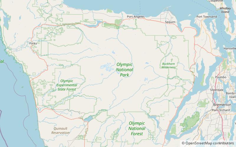
Map
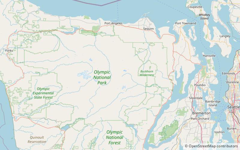
Map

Facts and practical information
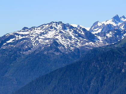
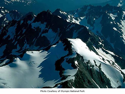
Mount Dana is a 6,213 feet mountain summit in Jefferson County of Washington state. Set within Olympic National Park, it is part of the Bailey Range which is a subset of the Olympic Mountains. It was named in honor of Charles Dana who was an editor of The Sun, a New York newspaper. Precipitation runoff from Mount Dana drains into the Elwha River, thence into the Strait of Juan de Fuca. ()
First ascent: 1928Elevation: 6213 ftProminence: 1529 ftCoordinates: 47°47'28"N, 123°29'6"W
Address
Olympic National Park
ContactAdd
Social media
Add
Day trips
Mount Dana – popular in the area (distance from the attraction)
Nearby attractions include: Mount Queets, Mount Claywood, Mount Meany, Stephen Peak.

