JeffVanderLou, St. Louis
Map

Map

Facts and practical information
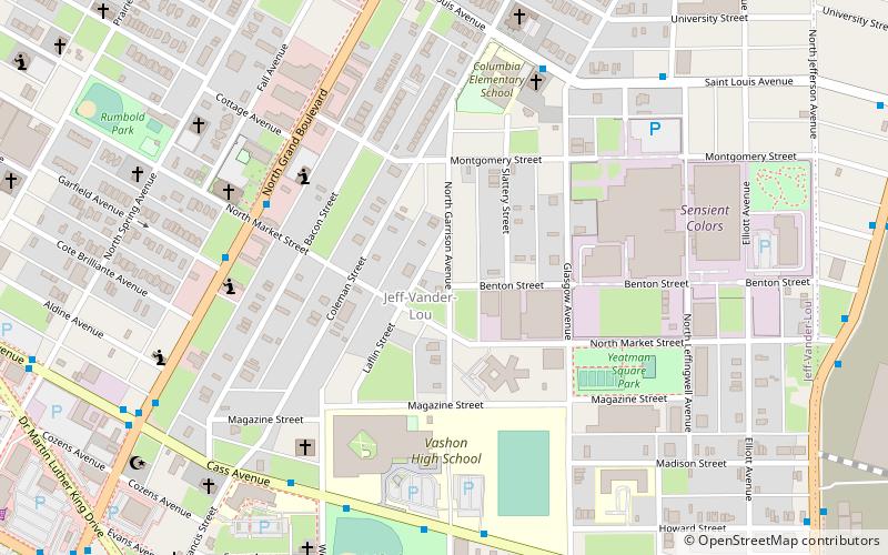
JeffVanderLou is a neighborhood of St. Louis, Missouri. The neighborhood is situated between North Vandeventer Avenue on the northwest, Natural Bridge Avenue on the northeast, North Jefferson Avenue on the East, Delmar Boulevard on the south, and North Compton Avenue and Martin Luther King Drive on the Southwest. ()
Coordinates: 38°39'1"N, 90°13'12"W
Day trips
JeffVanderLou – popular in the area (distance from the attraction)
Nearby attractions include: Contemporary Art Museum St. Louis, Powell Hall, Scott Joplin House State Historic Site, Pulitzer Arts Foundation.
Frequently Asked Questions (FAQ)
Which popular attractions are close to JeffVanderLou?
Nearby attractions include St. Alphonsus Liguori Catholic Church, St. Louis (16 min walk), The Griot Museum of Black History, St. Louis (16 min walk), Clemens House-Columbia Brewery District, St. Louis (19 min walk), Grand Center, St. Louis (20 min walk).


