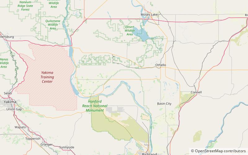
Wahluke Slope, Hanford Reach National Monument
Map

Map

Facts and practical information
Wahluke Slope is a geographic feature in Grant, Benton and Adams Counties of Eastern Washington. It is a broad, south-facing slope with a grade of about 8%, situated between the Saddle Mountains and the Columbia River's Hanford Reach. It has been described as "basically a 13-mile-wide gravel bar" created by the Glacial Lake Missoula floods at the end of the last ice age about 15,000 years ago. Much of the Slope, part of the Hanford Nuclear Reservation, was added to the Saddle Mountain National Wildlife Refuge in 1999. Much of the remainder is used for viniculture. ()
Coordinates: 46°45'0"N, 119°30'0"W
Address
Hanford Reach National Monument
ContactAdd
Social media
Add
