Aviation Heritage Park, Bowling Green
Map

Map

Facts and practical information
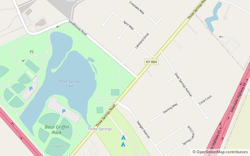
Aviation Heritage Park (address: Basil Griffin Park) is a place located in Bowling Green (Kentucky state) and belongs to the category of park, history museum, relax in park.
It is situated at an altitude of 541 feet, and its geographical coordinates are 36°55'10"N latitude and 86°26'7"W longitude.
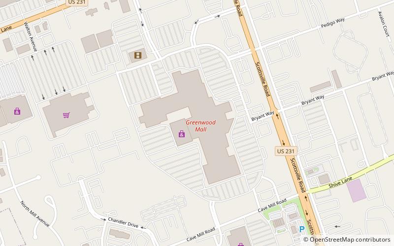
Among other places and attractions worth visiting in the area are: Greenwood Mall (shopping, 52 min walk), Lost River Cave (nature, 76 min walk), Burton Memorial Baptist Church (church, 117 min walk).
Elevation: 541 ft a.s.l.Coordinates: 36°55'10"N, 86°26'7"W
Day trips
Aviation Heritage Park – popular in the area (distance from the attraction)
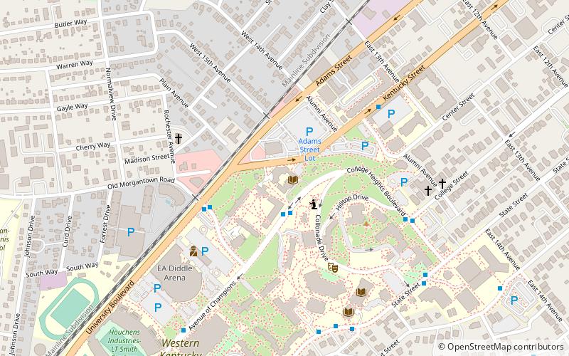
Nearby attractions include: Greenwood Mall, E. A. Diddle Arena, Lost River Cave, Kentucky Museum.


