Palisado Avenue Historic District, Windsor
Map

Map

Facts and practical information
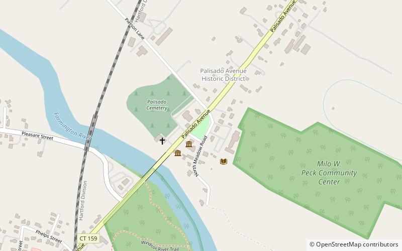
The Palisado Avenue Historic District encompasses a predominantly residential streetscape in northeastern Windsor, Connecticut. Extending along Palisado Avenue between the Farmington River and Bissell Ferry Road, it is a basically 18th-century street view, populated mainly with houses from the 18th to the 20th centuries. The district was listed on the National Register of Historic Places in 1987. ()
Area: 63 acres (0.0984 mi²)Coordinates: 41°51'30"N, 72°38'12"W
Address
HaydenWindsor
ContactAdd
Social media
Add
Day trips
Palisado Avenue Historic District – popular in the area (distance from the attraction)
Nearby attractions include: First Church in Windsor, Vintage Radio and Communications Museum, Hezekiah Chaffee House, Grace Church Rectory.
Frequently Asked Questions (FAQ)
Which popular attractions are close to Palisado Avenue Historic District?
Nearby attractions include First Church in Windsor, Windsor (3 min walk), Windsor Historical Society, Windsor (3 min walk), First Church Parsonage, Windsor (3 min walk), Hezekiah Chaffee House, Windsor (4 min walk).
How to get to Palisado Avenue Historic District by public transport?
The nearest stations to Palisado Avenue Historic District:
Train
Train
- Windsor (14 min walk)


