Fort Defiance, Cairo
Map
Gallery
Facts and practical information
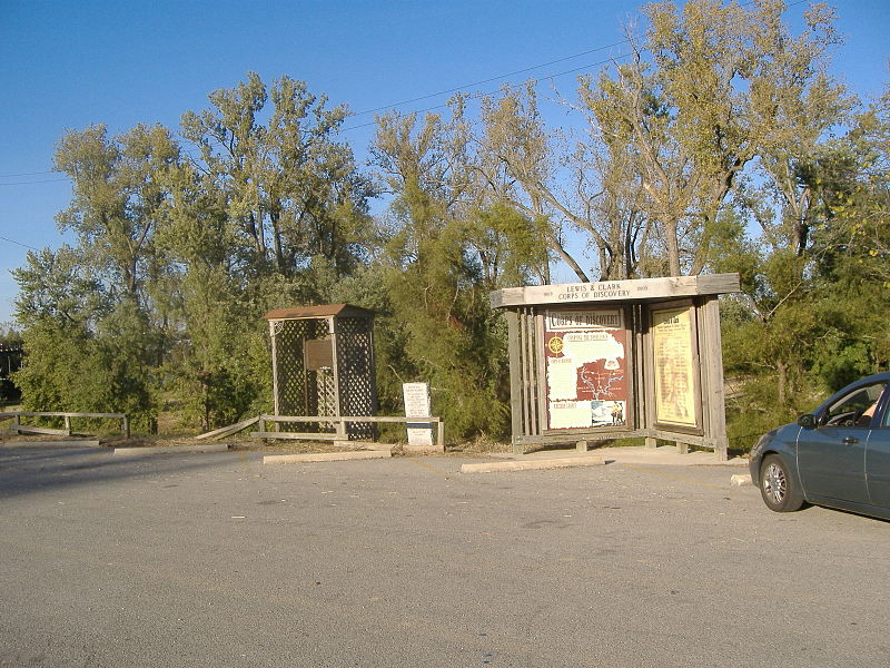
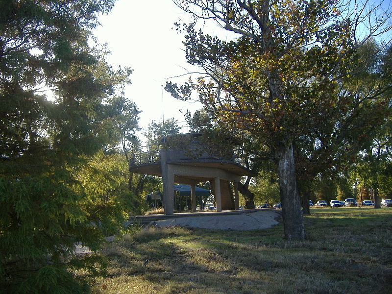
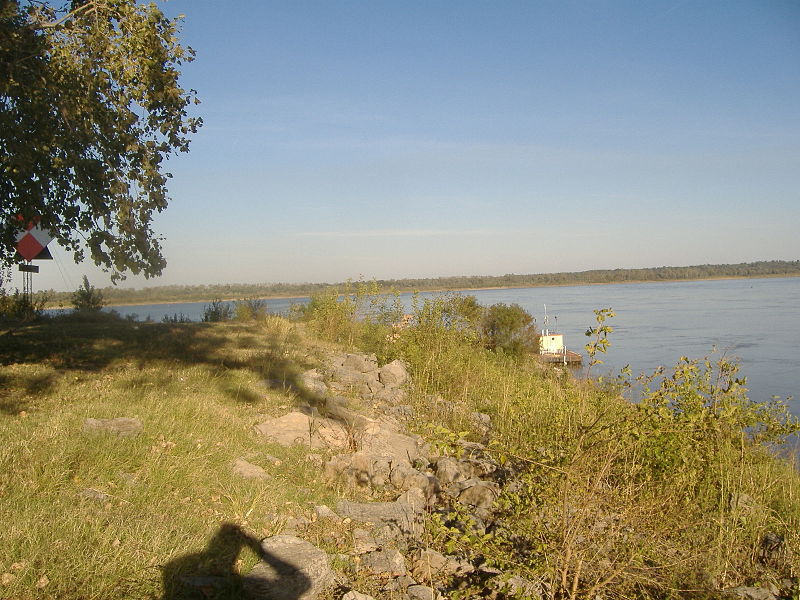
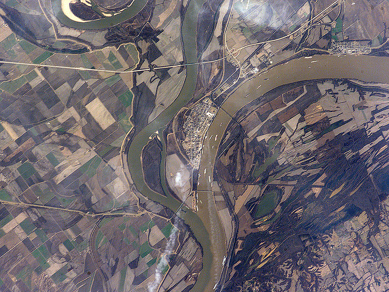
Fort Defiance, known as Camp Defiance during the American Civil War, is a former military fortification located at the confluence of the Ohio and Mississippi rivers in the city limits of Cairo, in Alexander County, Illinois. The strategic significance of the site has been known since prehistoric times with archaeological evidence of warfare dating to the Mississippian era. It is the southernmost park in the state of Illinois. At 279 feet in elevation, Fort Defiance Point is also Illinois' lowest point. ()
Elevation: 305 ft a.s.l.Coordinates: 36°59'12"N, 89°8'45"W
Address
Cairo
ContactAdd
Social media
Add
Day trips
Fort Defiance – popular in the area (distance from the attraction)
Nearby attractions include: Magnolia Manor, Old Custom House, Cairo Historic District.


