Lower Norton Lake, Sawtooth National Forest
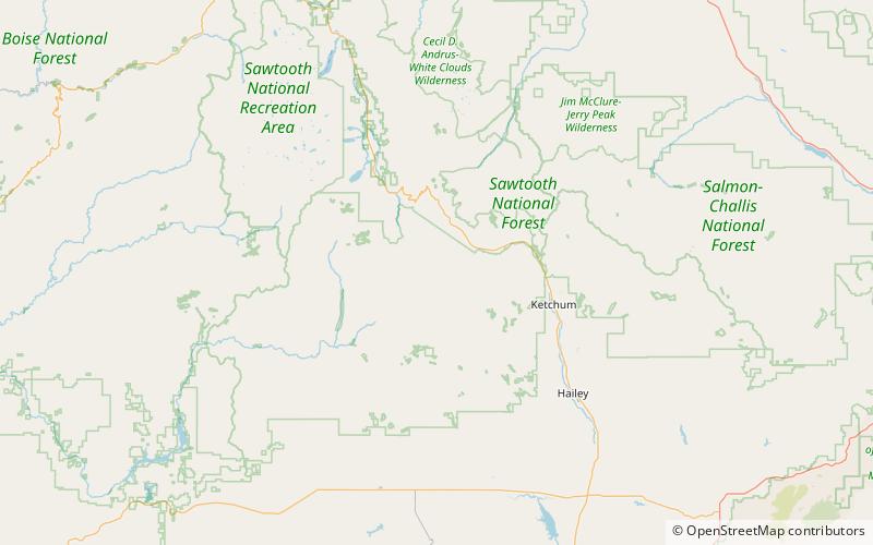
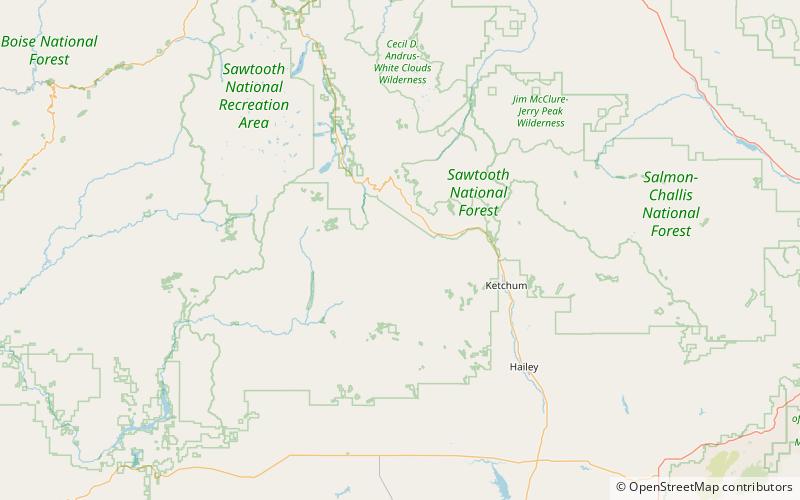
Map
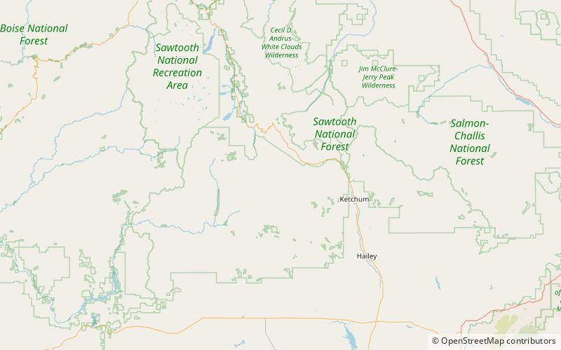
Map

Facts and practical information
Lower Norton Lake is an alpine lake in Blaine County, Idaho, United States, located in the Smoky Mountains in Sawtooth National Forest. It is most easily accessed from trail 135 from the end of forest road 170. The lake is located east of Prairie Creek Peak. It is also near Smoky Lake, Big Lost Lake, Little Lost Lake, and Upper Norton Lake. ()
Length: 620 ftWidth: 350 ftElevation: 8983 ft a.s.l.Coordinates: 43°44'56"N, 114°39'14"W
Address
Sawtooth National Forest
ContactAdd
Social media
Add
Day trips
Lower Norton Lake – popular in the area (distance from the attraction)
Nearby attractions include: Smoky Lake, Norton Peak, Little Lost Lake, Big Lost Lake.
Frequently Asked Questions (FAQ)
Which popular attractions are close to Lower Norton Lake?
Nearby attractions include Upper Norton Lake, Sawtooth National Forest (7 min walk), Big Lost Lake, Sawtooth National Forest (14 min walk), Smoky Lake, Sawtooth National Forest (18 min walk), Prairie Creek Peak, Sawtooth National Forest (21 min walk).

