Lehigh Parkway, Allentown
Map

Map

Facts and practical information
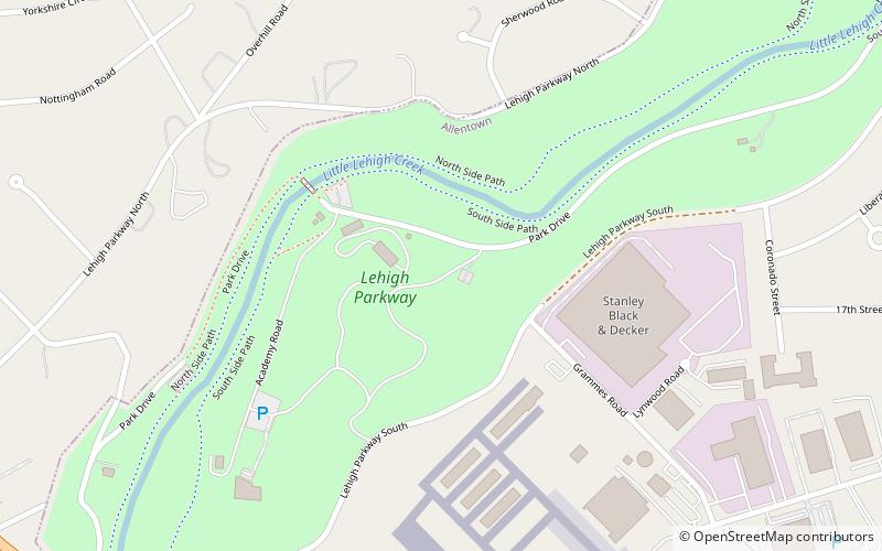
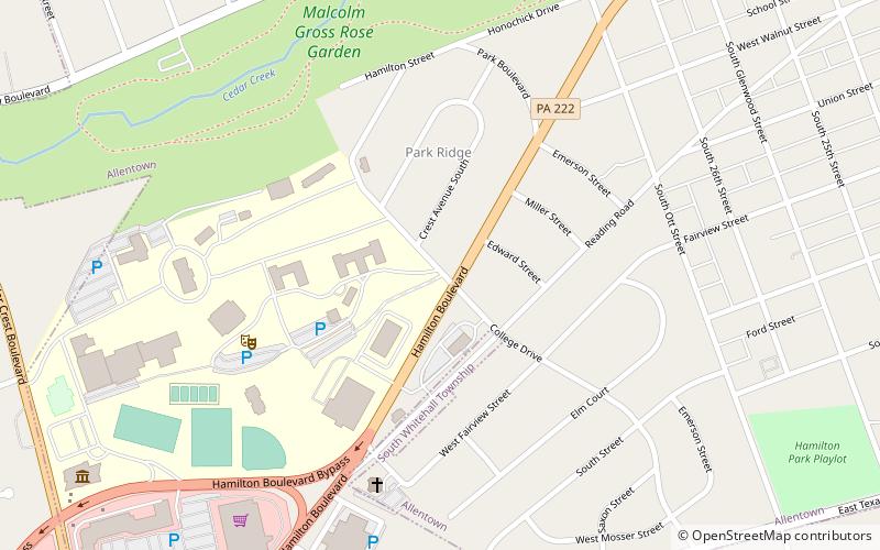
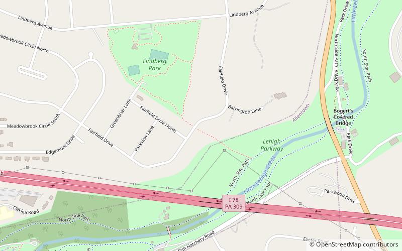
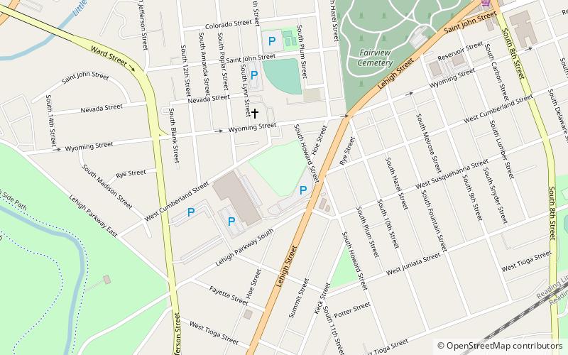
Lehigh Parkway is a large public park along the Little Lehigh Creek in Allentown, Pennsylvania, in the United States. It is the most prominent park in the city and follows the Little Lehigh Creek for three miles from the center of the city to Cedar Crest Boulevard. ()
Elevation: 282 ft a.s.l.Coordinates: 40°34'41"N, 75°29'30"W
Address
Southside (Lehigh Parkway)Allentown
ContactAdd
Social media
Add
Day trips
Lehigh Parkway – popular in the area (distance from the attraction)
Nearby attractions include: Lake Muhlenberg, Bogert Covered Bridge, Merchants Square Mall, Museum of Indian Culture.
Frequently Asked Questions (FAQ)
Which popular attractions are close to Lehigh Parkway?
Nearby attractions include Bogert Covered Bridge, Allentown (19 min walk), Museum of Indian Culture, Allentown (20 min walk), Merchants Square Mall, Allentown (23 min walk).


