Ranger Peak, Grand Teton National Park
Map
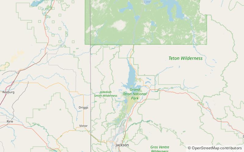
Map

Facts and practical information
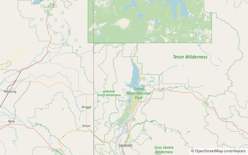
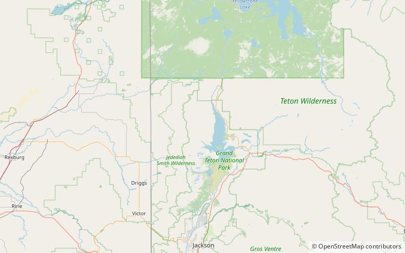
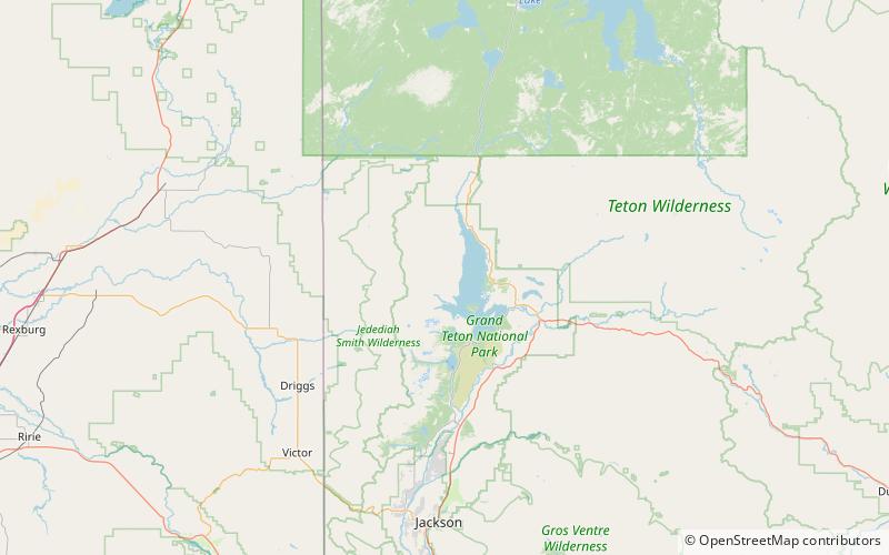
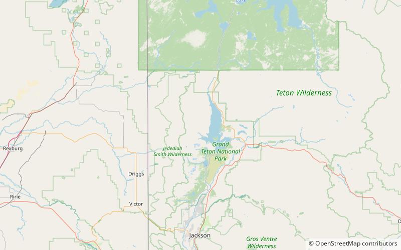
Ranger Peak is in the northern Teton Range, Grand Teton National Park, Wyoming. The peak is located slightly northwest of and across Jackson Lake from Colter Bay Village. Colter Canyon is to the north while Waterfalls Canyon is immediately southeast of the peak, but there are no maintained trails in the area. Access to the summit involves off trail hiking and scrambling. The top of the mountain is more than 4,500 feet above Jackson Lake. ()
Elevation: 11360 ftProminence: 1595 ftCoordinates: 43°55'43"N, 110°45'50"W
Address
Grand Teton National Park
ContactAdd
Social media
Add
Day trips
Ranger Peak – popular in the area (distance from the attraction)
Nearby attractions include: Waterfalls Canyon, Doane Peak, Colter Canyon, Columbine Cascade.
Frequently Asked Questions (FAQ)
Which popular attractions are close to Ranger Peak?
Nearby attractions include Waterfalls Canyon, Grand Teton National Park (22 min walk), Wilderness Falls, Grand Teton National Park (23 min walk).


