Priest Point Park, Olympia
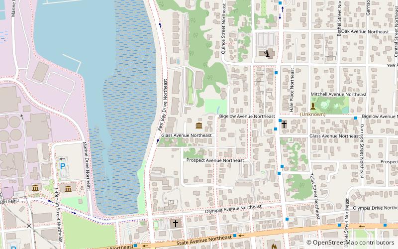
Map
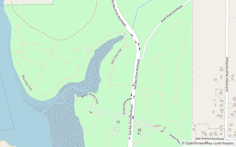
Map

Facts and practical information
Priest Point Park is a public park located in Olympia, Washington. Established in 1905, it was the city's first waterfront park, providing access to the Budd Inlet of Puget Sound. ()
Elevation: 66 ft a.s.l.Coordinates: 47°4'20"N, 122°53'46"W
Day trips
Priest Point Park – popular in the area (distance from the attraction)
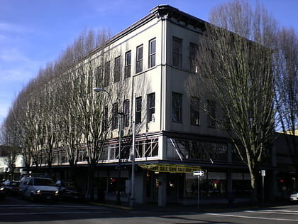
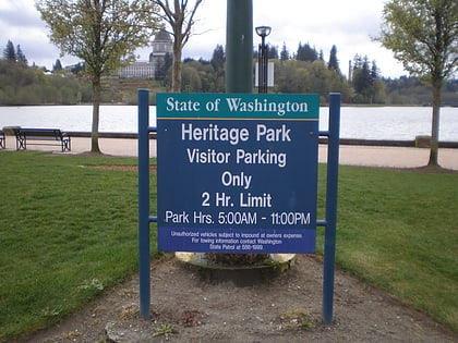
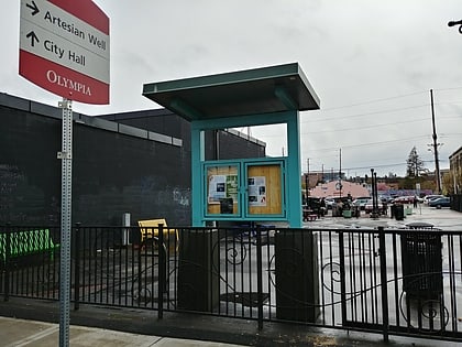
Nearby attractions include: Capital Mall, Mottman Building, Heritage Park, Artesian Commons.
Frequently Asked Questions (FAQ)
How to get to Priest Point Park by public transport?
The nearest stations to Priest Point Park:
Bus
Bus
- 26th and Bethel [wb] • Lines: 21 (16 min walk)
- Bethel and Miller [sb] • Lines: 21 (23 min walk)


