Forbidden Glacier, North Cascades National Park
Map

Map

Facts and practical information
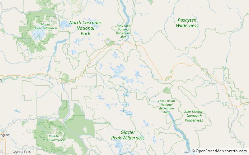
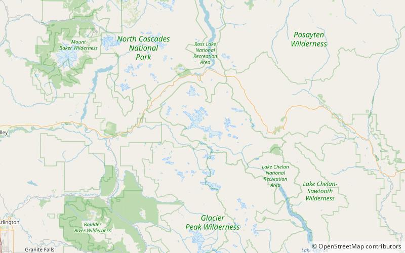
Forbidden Glacier is on the north slopes of Forbidden Peak, North Cascades National Park in the U.S. state of Washington. The glacier is approximately.75 mi in length, 1 mi in width at its terminus and descends from 8,000 to 5,600 ft. The glacier is separated by an arête from Boston Glacier to the east and south. Meltwaters from Forbidden Glacier flow into Moraine Lake. ()
Length: 3960 ftCoordinates: 48°31'3"N, 121°3'43"W
Address
North Cascades National Park
ContactAdd
Social media
Add
Day trips
Forbidden Glacier – popular in the area (distance from the attraction)
Nearby attractions include: Forbidden Peak, Moraine Lake, Sharkfin Tower, Mount Torment.
Frequently Asked Questions (FAQ)
Which popular attractions are close to Forbidden Glacier?
Nearby attractions include Forbidden Peak, North Cascades National Park (12 min walk), Mount Torment, North Cascades National Park (20 min walk).


