Centennial Mall, Lincoln
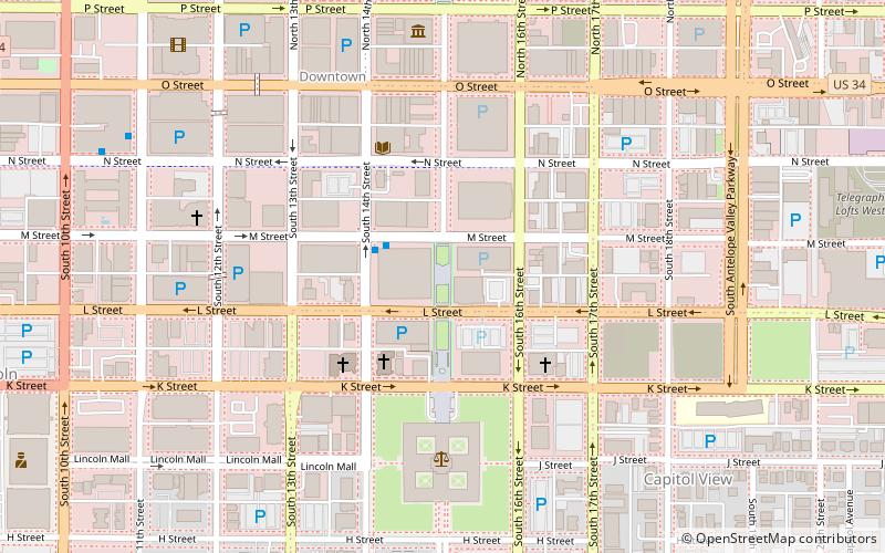
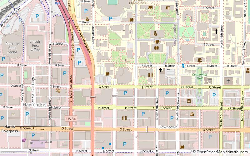
Map
Facts and practical information
Nebraska's Centennial Mall, also known simply as Centennial Mall, is a seven-block-long public space in Lincoln, Nebraska, stretching from the Nebraska State Capitol building north to the University of Nebraska - Lincoln's city campus. ()
Elevation: 1178 ft a.s.l.Coordinates: 40°48'39"N, 96°41'59"W
Day trips
Centennial Mall – popular in the area (distance from the attraction)
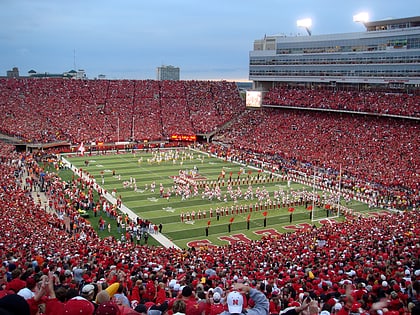
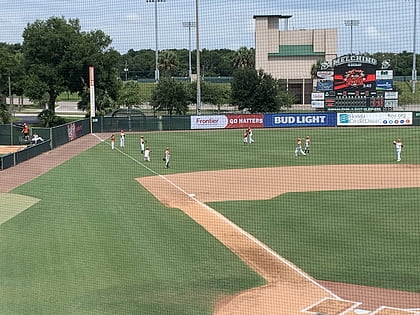
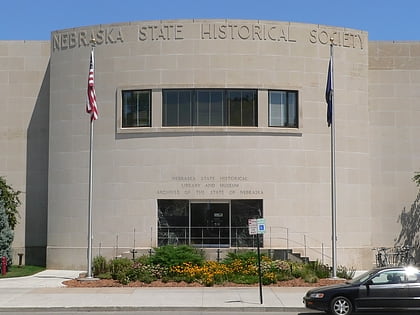
Nearby attractions include: Memorial Stadium, Haymarket Park, Pinnacle Bank Arena, Nebraska State Historical Society Building.
Frequently Asked Questions (FAQ)
Which popular attractions are close to Centennial Mall?
Nearby attractions include Pershing Center, Lincoln (3 min walk), St. Mary's Catholic Church, Lincoln (3 min walk), Lincoln YWCA Building, Lincoln (4 min walk), Federal Trust Building, Lincoln (5 min walk).
How to get to Centennial Mall by public transport?
The nearest stations to Centennial Mall:
Bus
Train
Bus
- Gold's- 11th Street • Lines: 13 (9 min walk)
Train
- Lincoln (21 min walk)
- Train Depot (33 min walk)
