Ozarks Technical Community College, Springfield
Map
Facts and practical information
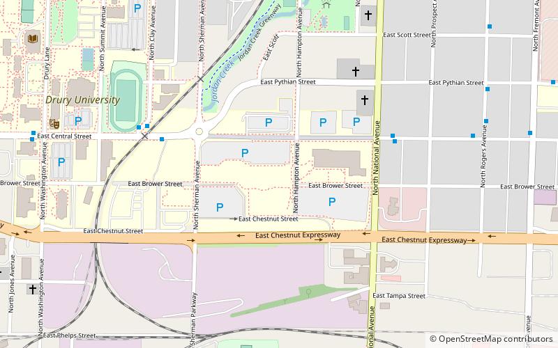
Ozarks Technical Community College is a public community college in Springfield, Missouri. It was established by Springfield and thirteen surrounding public school districts on April 3, 1990. Students can earn a one-year certificate, two-year Associate of Applied Science degree or Associate of Arts degree. In 1996, OTC received accreditation from the Commission on Institutions of Higher Education of the North Central Association of Colleges and Schools. In Spring 2007, OTC received approval from the Higher Learning Commission to deliver all of its degree programs online. The college had a fall 2019 enrollment of 11,758 students. ()
Coordinates: 37°12'59"N, 93°16'43"W
Getting there by public transportation
Public transportation stops near this location
- Bus
 Bus
Bus
- Calculate routeTransit Center 30 min walk
Day trips


Frequently Asked Questions (FAQ)
Which popular attractions are close to Ozarks Technical Community College?
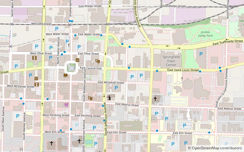
Nearby attractions include Silver Springs Park and Pool, Springfield (9 min walk), The Creamery Arts Center, Springfield (10 min walk), Drury University, Springfield (11 min walk), Jordan Valley Park, Springfield (12 min walk).
How to get to Ozarks Technical Community College by public transport?
The nearest stations to Ozarks Technical Community College:
Bus
Bus
- Transit Center (30 min walk)