Tieton Dam, Okanogan–Wenatchee National Forest
Map

Map

Facts and practical information
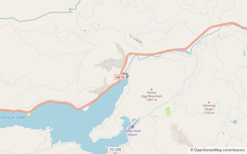
Tieton Dam is an earth and concrete type dam on the Tieton River in Yakima County, in the U.S. state of Washington. The dam began operation in 1925. Its reservoir, Rimrock Lake, has a total capacity of 203,600 acre-feet with a normal operating capacity of 198,000 acre-feet to provides water for agricultural irrigation. This dam is a component of the Yakima Project. Upstream from the dam, the river is impounded by Clear Creek Dam, another element of the Yakima Project. About 8 miles downstream from the dam, the Tieton River is tapped for the Tieton Main Canal. ()
Opened: 1925 (101 years ago)Length: 920 ftHeight: 319 ftReservoir area: 4.18 mi²Coordinates: 46°39'23"N, 121°7'44"W
Address
Okanogan–Wenatchee National Forest
ContactAdd
Social media
Add
Day trips
Tieton Dam – popular in the area (distance from the attraction)
Nearby attractions include: Rimrock Lake.
