Leigh Lake Trail, Grand Teton National Park

Map
Facts and practical information
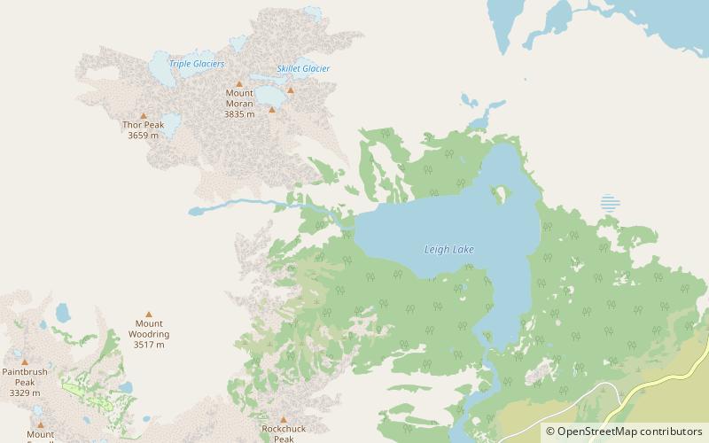
The Leigh Lake Trail is a 5-mile long hiking trail in Grand Teton National Park in the U.S. state of Wyoming. For its entire length it is also part of the Valley Trail. The trail starts at the Leigh Lake trailhead and follows the eastern shores of String and Leigh Lakes and extends to Trapper Lake. The Leigh Lake trailhead is off the one-way road from North Jenny Lake Junction. The trail provides access to a half dozen camping sites on Leigh, Bearpaw and Trapper Lakes. ()
Length: 5 miMaximum elevation: 7030 ftMinimal elevation: 6880 ftCoordinates: 43°48'57"N, 110°45'14"W
Address
Grand Teton National Park
ContactAdd
Social media
Add
Day trips
Leigh Lake Trail – popular in the area (distance from the attraction)
Nearby attractions include: Trapper Lake, Leigh Lake, Bearpaw Lake, Paintbrush Canyon Trail.


