South Kings Peak, High Uintas Wilderness
Map

Map

Facts and practical information
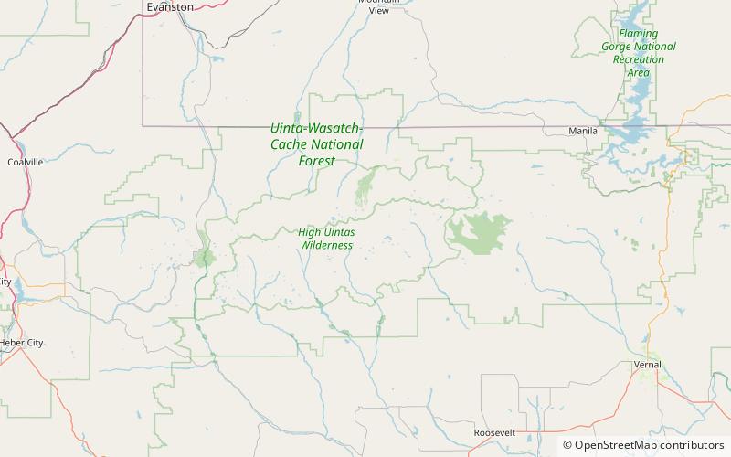
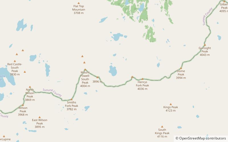
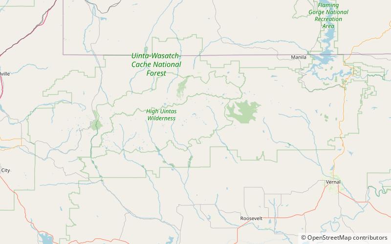
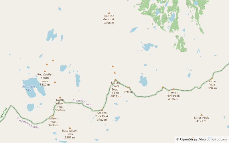
South Kings Peak is the second highest peak in Utah, United States with an elevation of 13,518 feet. It lies just south of the spine of the central Uinta Mountains, in the Ashley National Forest in northeastern Utah, in north-central Duchesne County. It lies within the boundaries of the High Uintas Wilderness. ()
Elevation: 13518 ftProminence: 352 ftCoordinates: 40°45'57"N, 110°22'41"W
Address
High Uintas Wilderness
ContactAdd
Social media
Add
Day trips
South Kings Peak – popular in the area (distance from the attraction)
Nearby attractions include: Kings Peak, Cliff Lake, Uinta Mountains, Gilbert Peak.
Frequently Asked Questions (FAQ)
Which popular attractions are close to South Kings Peak?
Nearby attractions include Uinta Mountains, High Uintas Wilderness (20 min walk), Kings Peak, High Uintas Wilderness (20 min walk).


