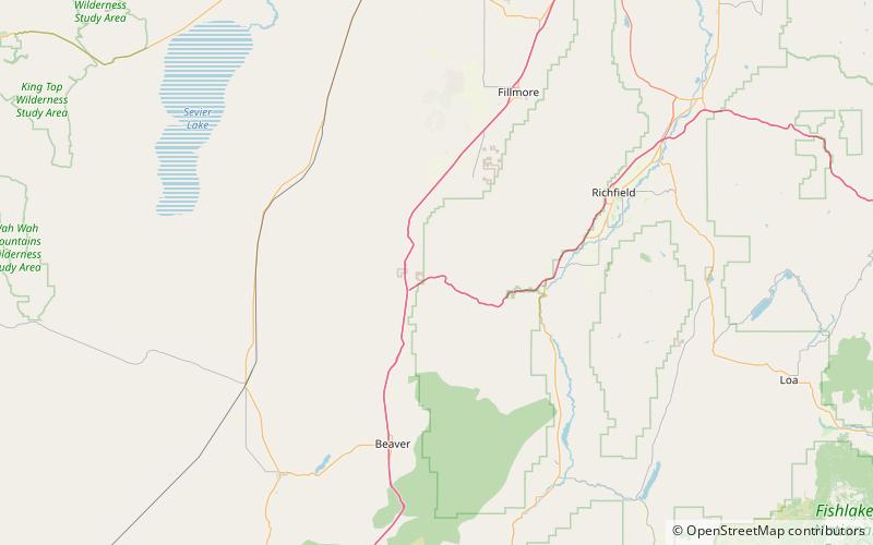
Sulphur Peak, Fishlake National Forest

Map
Facts and practical information
Sulphur Peak is a summit in the south end of the Pavant Range in Millard County, Utah. It reaches an elevation of 7,020 feet ()
Coordinates: 38°36'50"N, 112°31'48"W
Address
Fishlake National Forest
ContactAdd
Social media
Add
Day trips
Sulphur Peak – popular in the area (distance from the attraction)
Nearby attractions include: Cove Fort.
