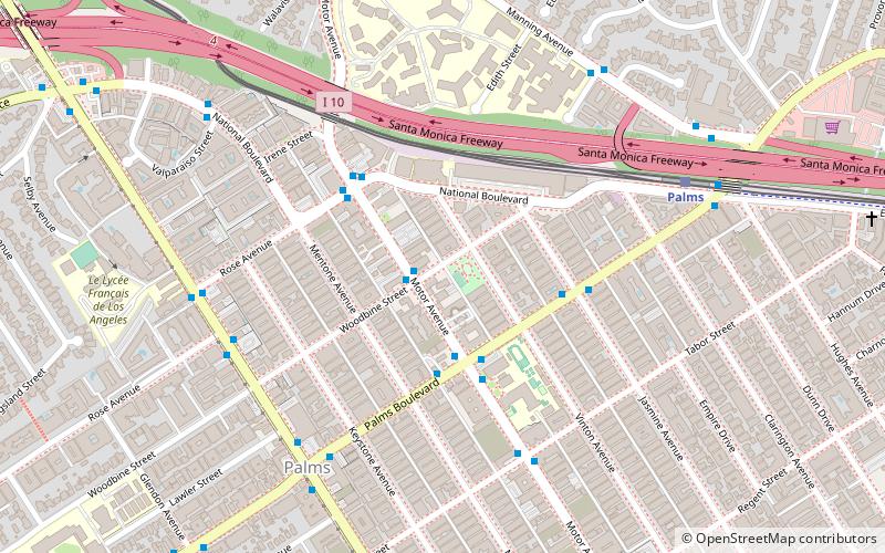
Woodbine Park, Los Angeles
Map
Facts and practical information
Palms is a community in the Westside region of Los Angeles, California, founded in 1886 and the oldest neighborhood annexed to the city, in 1915. The 1886 tract was marketed as an agricultural and vacation community. Today it is a primarily residential area, with many apartment buildings, ribbons of commercial zoning and a single-family residential area in its northwest corner. As of the 2000 census the population of Palms was 42,545. ()
Area: 1.9 mi²Elevation: 115 ft a.s.l.Coordinates: 34°1'40"N, 118°24'32"W
Getting there by public transportation
Public transportation stops near this location
- Bus
- Light rail
 Bus
Bus
- Calculate routeMotor & Woodbine 2 min walk
- Calculate routePalms & Motor 3 min walk
- Calculate routePalms 8 min walk
- Calculate routeWestwood/Rancho Park 28 min walk
Maps Metro & Regional Rail
Metro & Regional RailDay trips


Frequently Asked Questions (FAQ)
Which popular attractions are close to Woodbine Park?
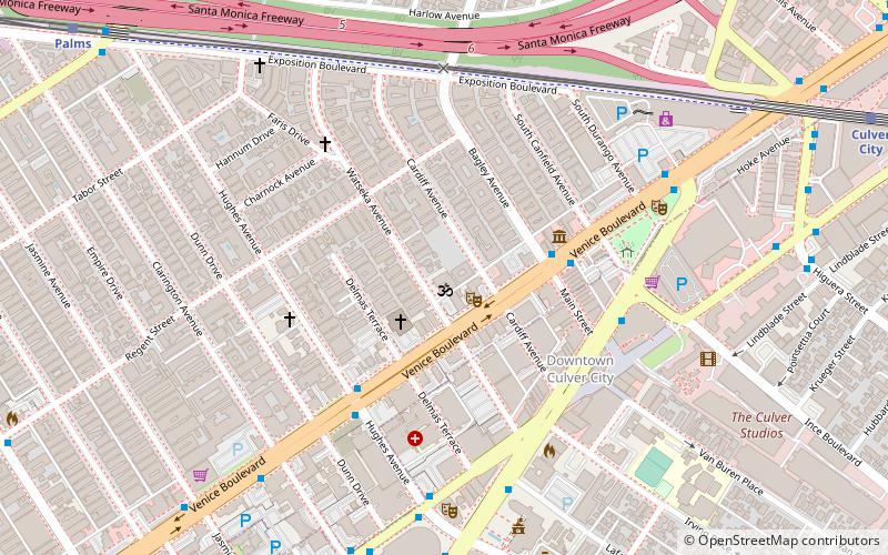
Nearby attractions include St. Augustine Catholic Church, Los Angeles (18 min walk), Bhagavad-gita Museum, Santa Monica (18 min walk), Kirk Douglas Theatre, Los Angeles (21 min walk), Museum of Jurassic Technology, Los Angeles (21 min walk).
How to get to Woodbine Park by public transport?
The nearest stations to Woodbine Park:
Bus
Light rail
Bus
- Motor & Woodbine • Lines: 3 (2 min walk)
- Palms & Motor • Lines: 17, 3 (3 min walk)
Light rail
- Palms • Lines: E (8 min walk)
- Westwood/Rancho Park • Lines: E (28 min walk)