Bailey Park, Austin
Map
Gallery
Facts and practical information
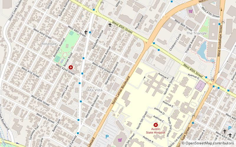
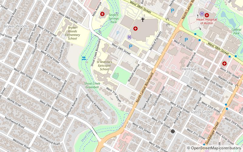
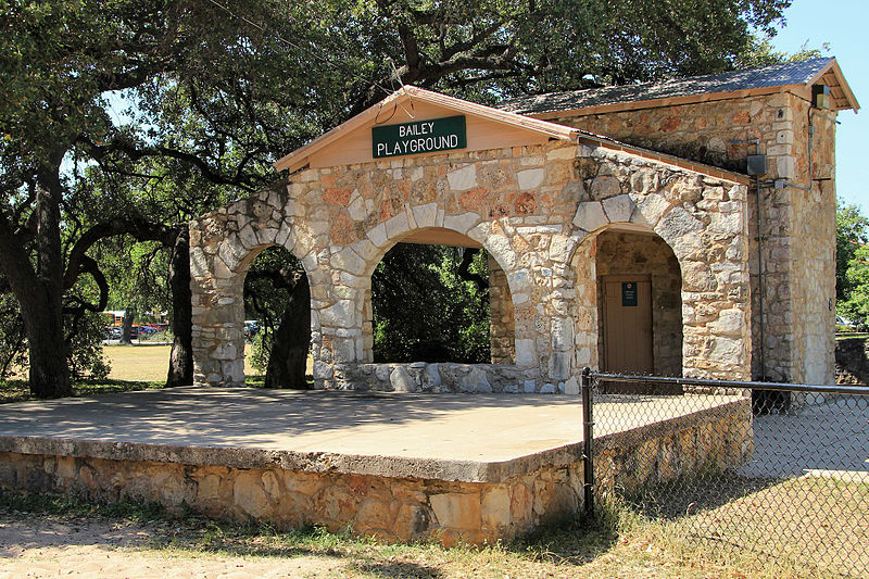
Bailey Park is located in central Austin, Texas within the vicinity of the Seton Medical Center and St. Andrews Episcopal School. Located at 30°18′09″N 97°44′48″W, the small city park was created from several residential lots clustered together to make a common public green space. In 1935 F.G Rossener paid $320 in cash for lot #14 in the George W. Spears league of land. Bailey Park eventually expanded to cover 2.3 acres or about one small city lot by the late 1930s. ()
Elevation: 571 ft a.s.l.Coordinates: 30°18'8"N, 97°44'50"W
Day trips
Bailey Park – popular in the area (distance from the attraction)
Nearby attractions include: Harry Ransom Center, Gregory Gymnasium, Bass Concert Hall, University United Methodist Church.
Frequently Asked Questions (FAQ)
Which popular attractions are close to Bailey Park?
Nearby attractions include Congregation Beth Israel, Austin (11 min walk), Bryker Woods, Austin (13 min walk), Shoal Creek Dog Park, Austin (19 min walk), University of Texas at Austin, Austin (20 min walk).
How to get to Bailey Park by public transport?
The nearest stations to Bailey Park:
Bus
Bus
- Nueces/27th • Lines: 410, 642 (20 min walk)
- 26th/Pearl • Lines: 642 (20 min walk)

