Texarkana Golf Ranch, Texarkana
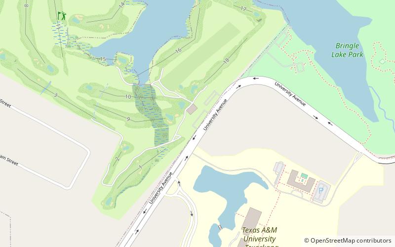
Map

Map

Facts and practical information
Texarkana Golf Ranch (address: 7401 University Ave) is a place located in Texarkana (Texas state) and belongs to the category of outdoor activities, golf.
It is situated at an altitude of 325 feet, and its geographical coordinates are 33°29'38"N latitude and 94°6'22"W longitude.
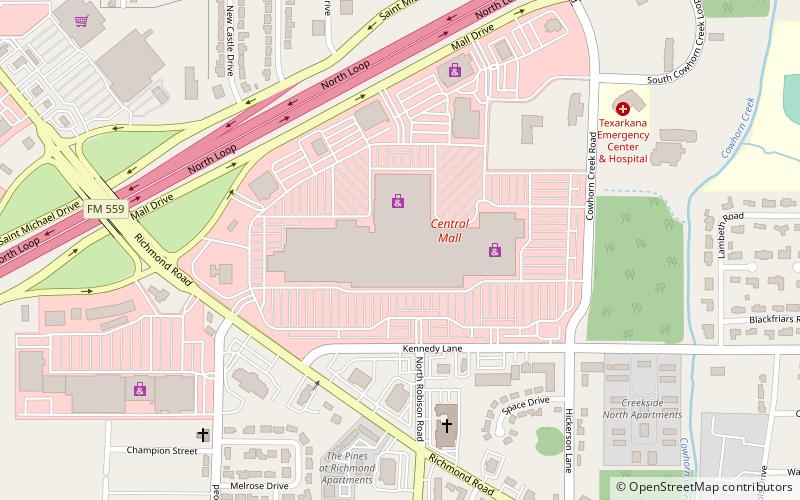
Among other places and attractions worth visiting in the area are: Central Mall (shopping, 78 min walk), Texarkana College (universities and schools, 98 min walk), Texarkana metropolitan area (city, 116 min walk).
Coordinates: 33°29'38"N, 94°6'22"W
Day trips
Texarkana Golf Ranch – popular in the area (distance from the attraction)
Nearby attractions include: Ace of Clubs House, Museum of Regional History, Texarkana College, Canaan Baptist Church.


