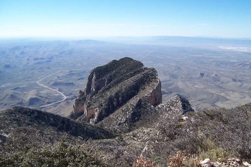
El Capitan, Guadalupe Mountains National Park

Gallery (2)
Map
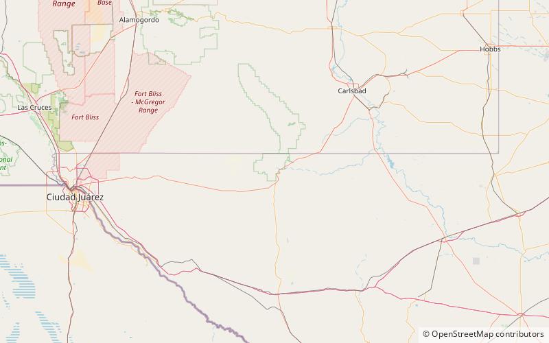
Map
Gallery
Facts and practical information
El Capitan is a peak in Culberson County, Texas, located within Guadalupe Mountains National Park. The 10th-highest peak in Texas at 8,085 ft, El Capitan is part of the Guadalupe Mountains, an exposed portion of a Permian period reef uplifted and exposed by tectonic activity during the late Cretaceous period. The southern terminus of the Guadalupe Mountains, El Capitan looms over U.S. 62/180, where its imposing height and stark outline have made it one of the iconic images of the Trans-Pecos to generations of travelers. ()
Day trips


