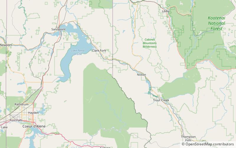
Cabinet National Forest, Kootenai National Forest

Map
Facts and practical information
Cabinet National Forest was established in Idaho and Montana by the U.S. Forest Service on March 2, 1907 with 2,060,960 acres, mostly in Montana. On July 1, 1954 it was divided among Kaniksu, Kootenai and Lolo National Forests. ()
Coordinates: 48°0'0"N, 116°0'0"W
Address
Kootenai National Forest
ContactAdd
Social media
Add