BeltLine, Atlanta
Facts and practical information
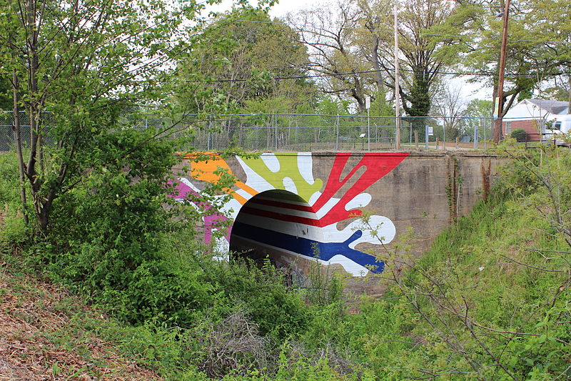
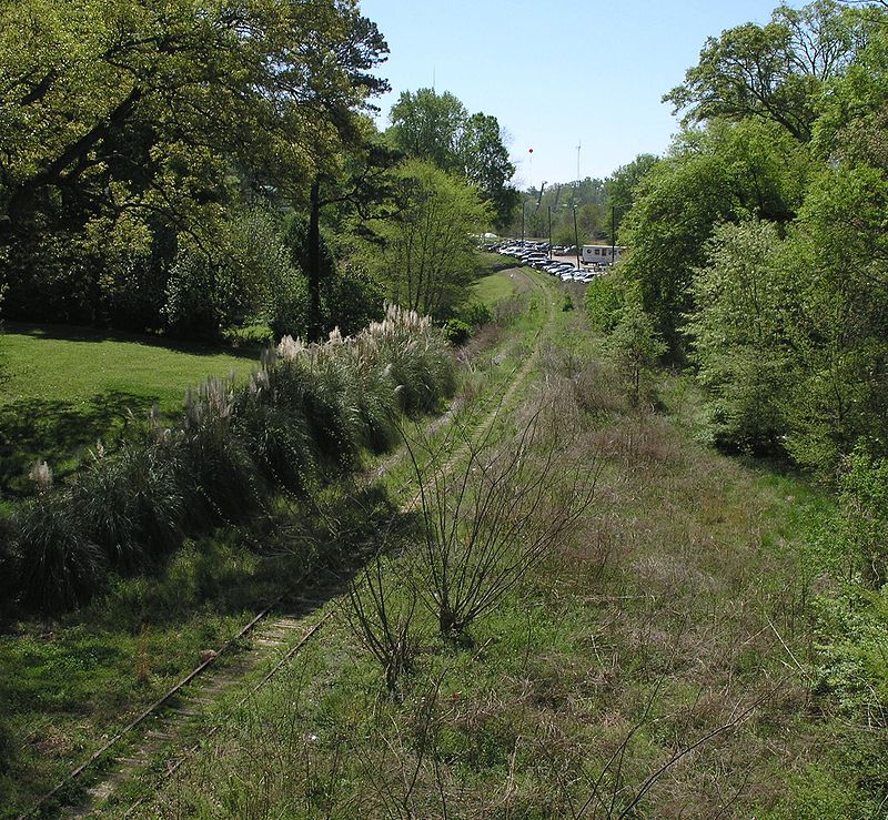
The Atlanta BeltLine is a 22 miles open and planned loop of multi-use trail and light rail transit system on a former railway corridor around the core of Atlanta, Georgia. The Atlanta BeltLine is designed to reconnect neighborhoods and communities historically divided and marginalized by infrastructure, improve transportation, add green space, promote redevelopment, create and preserve affordable housing, and showcase arts and culture. The project is in varying stages of development, with several mainline and spur trails complete and others in an unpaved, but hikeable, state. Since the passage of the More MARTA sales tax in 2016, construction of the light rail streetcar system is overseen by MARTA in close partnership with Atlanta BeltLine, Inc. ()
BeltLine – popular in the area (distance from the attraction)
Nearby attractions include: Oakland Cemetery, Ebenezer Baptist Church, Jimmy Carter Library and Museum, Martin Luther King Jr. National Historic Site.
Frequently Asked Questions (FAQ)
Which popular attractions are close to BeltLine?
How to get to BeltLine by public transport?
Tram
- King Historic District • Lines: Atlanta Streetcar (16 min walk)
- Edgewood at Hillard • Lines: Atlanta Streetcar (18 min walk)
Metro
- Inman Park/Reynoldstown • Lines: Blue, Green (19 min walk)
- King Memorial • Lines: Blue, Green (22 min walk)


