Almeda Road, Houston
Map
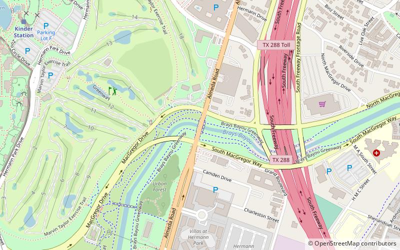
Map

Facts and practical information
The Almeda Road Bridge over Brays Bayou is a bridge located in Houston, Texas and listed on the National Register of Historic Places. The bridge was designed by J. G. McKenzie and Don Hall Constructors and is one of the last continuous span concrete girder bridges to be designed during the City Beautiful movement. ()
Built: 1931 (95 years ago)Coordinates: 29°42'48"N, 95°22'56"W
Day trips
Almeda Road – popular in the area (distance from the attraction)
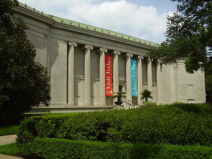
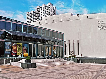
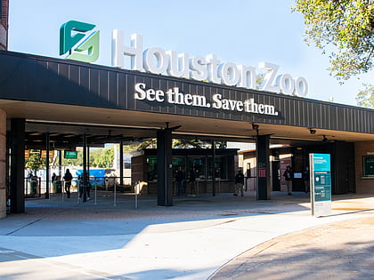
Nearby attractions include: Museum of Fine Arts, John C. Freeman Weather Museum, Houston Museum of Natural Science, Houston Zoo.
Frequently Asked Questions (FAQ)
Which popular attractions are close to Almeda Road?
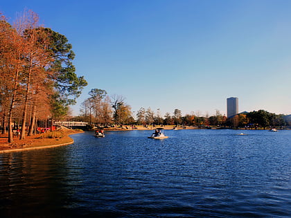
Nearby attractions include Hermann Park, Houston (14 min walk), Miller Outdoor Theatre, Houston (16 min walk), Houston Zoo, Houston (16 min walk), Atropos Key, Houston (17 min walk).
How to get to Almeda Road by public transport?
The nearest stations to Almeda Road:
Train
Light rail
Train
- Kinder Station (14 min walk)
- M. D. Anderson Station (17 min walk)
Light rail
- Hermann Park/Rice U • Lines: Red (22 min walk)
- Museum District • Lines: Red (23 min walk)

