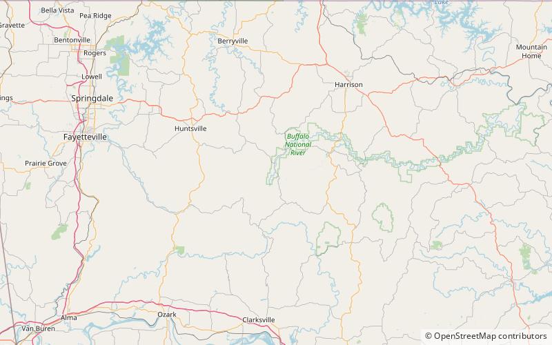
Buffalo River Trail, Upper Buffalo Wilderness
Map

Map

Facts and practical information
The Buffalo River Trail is a hiking and backpacking trail that follows the path of the Buffalo National River in Arkansas. It consists of two separate sections that are referred to as the Western and Eastern sections. The Western Section is from Boxley Valley to Pruitt. The Eastern Section is under development with completed segments from Woolum Ford to Highway 65 bridge at Tyler Bend and South Maumee to Highway 14. The Ozark Highlands Trail joins the Eastern Section of the Buffalo River Trail at Woolum Ford so it is officially designated the Buffalo River/Ozark Highlands Trail. ()
Coordinates: 35°56'46"N, 93°23'54"W
Address
Upper Buffalo Wilderness
ContactAdd
Social media
Add
