Willow Springs Lake, Apache–Sitgreaves National Forests
Map

Map

Facts and practical information
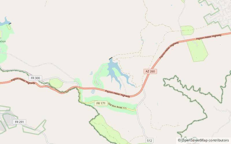
Willow Springs Lake is a cold water lake located on top of the Mogollon Rim in northern Arizona, about 23 mi east of the city of Payson in the Apache-Sitgreaves National Forests, immediately adjacent to SR 260. It is a canyon-bound lake located on the Mogollon Rim, and is part of the collectivity known as the Rim Lakes. It can be found upstream from Chevelon Canyon Lake. The facilities are maintained by Apache-Sitgreaves National Forests division of the USDA Forest Service. ()
Area: 148.26 acres (0.2317 mi²)Average depth: 60 ftElevation: 7543 ft a.s.l.Coordinates: 34°18'37"N, 110°52'26"W
Address
Apache–Sitgreaves National Forests
ContactAdd
Social media
Add
Day trips
Willow Springs Lake – popular in the area (distance from the attraction)
Nearby attractions include: Woods Canyon Lake.

