Russell Industrial Center, Detroit
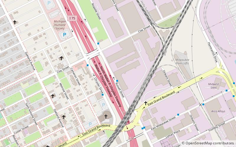
Map

Map

Facts and practical information
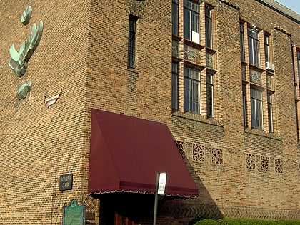
The Russell Industrial Center is an industrial factory turned to commercial complex of studios and shops that is located at 1600 Clay Street in Detroit, Michigan. The Russell Industrial Center is a 2,200,000-square-foot, seven building complex, designed by Albert Kahn for John William Murray in 1915. It contains studios and lofts and serves as a professional center for commercial and creative arts. ()
Coordinates: 42°22'38"N, 83°3'39"W
Day trips
Russell Industrial Center – popular in the area (distance from the attraction)
Nearby attractions include: Ford Piquette Avenue Plant, Fisher Building, Scarab Club, Woodward Avenue Presbyterian Church.
Frequently Asked Questions (FAQ)
Which popular attractions are close to Russell Industrial Center?
Nearby attractions include Milwaukee Junction, Detroit (10 min walk), Ford Piquette Avenue Plant, Detroit (16 min walk), Piquette Avenue Industrial Historic District, Detroit (18 min walk), Metropolitan United Methodist Church, Detroit (20 min walk).
How to get to Russell Industrial Center by public transport?
The nearest stations to Russell Industrial Center:
Bus
Tram
Train
Bus
- Russell / Russell Industrial Center • Lines: 11 (1 min walk)
- Chrysler / Clay • Lines: 11 (3 min walk)
Tram
- Grand Boulevard • Lines: QLine (21 min walk)
- Baltimore Street • Lines: QLine (22 min walk)
Train
- Detroit (23 min walk)


