Atna Peaks, Wrangell–Saint Elias Wilderness
Map

Map

Facts and practical information
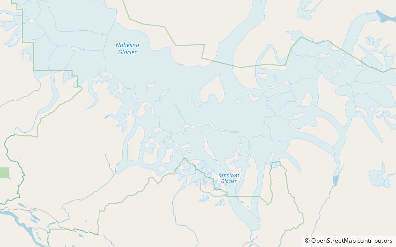
Atna Peaks is an eroded stratovolcano or shield volcano in the Wrangell Mountains of eastern Alaska. It is located in Wrangell–Saint Elias National Park about 6 miles east of Mount Blackburn, the second-highest volcano in the United States, and just south of the massive Nabesna Glacier. Because the mountain is almost entirely covered in glaciers, no geological studies have been done, but published references state and the geological map shows that the mountain is an old eroded volcanic edifice. ()
Alternative names: First ascent: 1965Elevation: 13860 ftProminence: 2160 ftCoordinates: 61°44'58"N, 143°14'24"W
Address
Wrangell–Saint Elias Wilderness
ContactAdd
Social media
Add
